Day two, heritage guide in hand
The day after our loop through the Upper Town, on Sunday, October 25, we picked up the heritage guide again, this time to explore the Lower Town and the riverfront. The day comes in three parts, linked by car: St. Matthew's Cemetery in the Saint-Jean suburb, a walking loop of about an hour between Place-Royale and Petit-Champlain, and then the Anse au Foulon, where the fate of New France was decided. At the end of October, several places are closed for the season, but the essentials can be discovered from the outside, reading their history on the spot.
St. Matthew's Cemetery
First stop, at 755, rue Saint-Jean. In the middle of the suburb's liveliest street hides a small, peaceful park: it is the oldest Protestant cemetery in Quebec. After the Conquest, Quebec's new Anglican and Presbyterian population could not be buried in the Catholic cemeteries; it was given this plot outside the walls, where the first burials took place in 1772. An estimated 6,000 to 10,000 people rest here, most of them without a stone. There are 314 left, often worn by time, telling of infant mortality, epidemics and drownings in a port city.
The quiet star of the place is the stone of Alexander Cameron, a soldier of the Fraser Highlanders who died in 1759 in Lévis, a few days before the Battle of the Plains of Abraham. His remains are said to have been moved here when the cemetery opened, which would make it the oldest surviving gravestone in Quebec. Closed to burials in 1860, the cemetery became a park in 1980, and the neighbouring St. Matthew's Church became the Claire-Martin library. A tip: two podcasts, one of them in French, guide the visit from one stone to the next on your phone, with no app to download. Look for the interpretation panel next to the library.
Rue Saint-Pierre, the old shoreline
Back in the car to head down to the Old Port and park at the Musée de la civilisation lot, on rue Dalhousie. A detail to keep in mind for the whole loop: in 1608, rue Saint-Pierre was the riverbank. Everything to the east was reclaimed from the water, wharf after wharf.
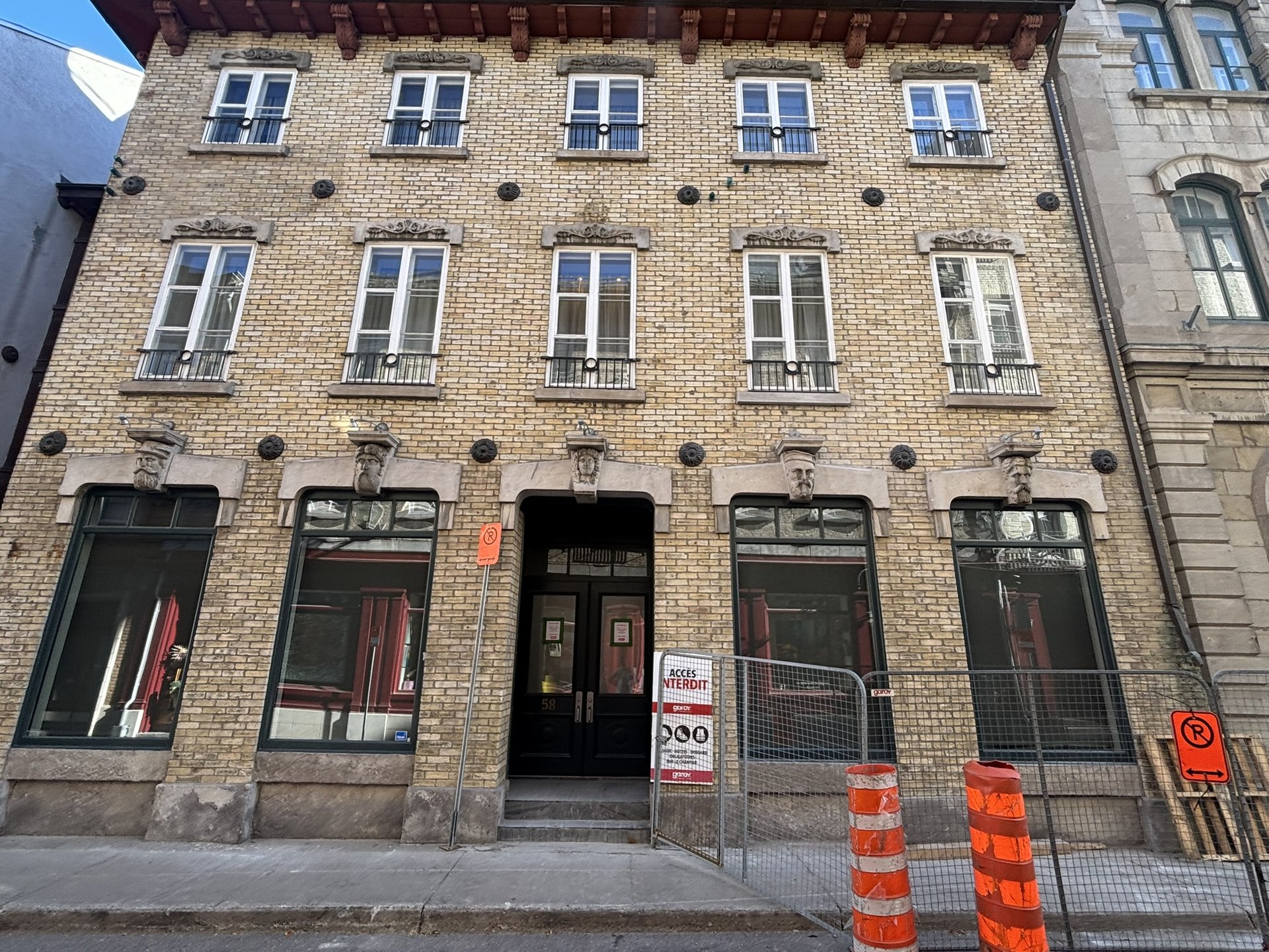
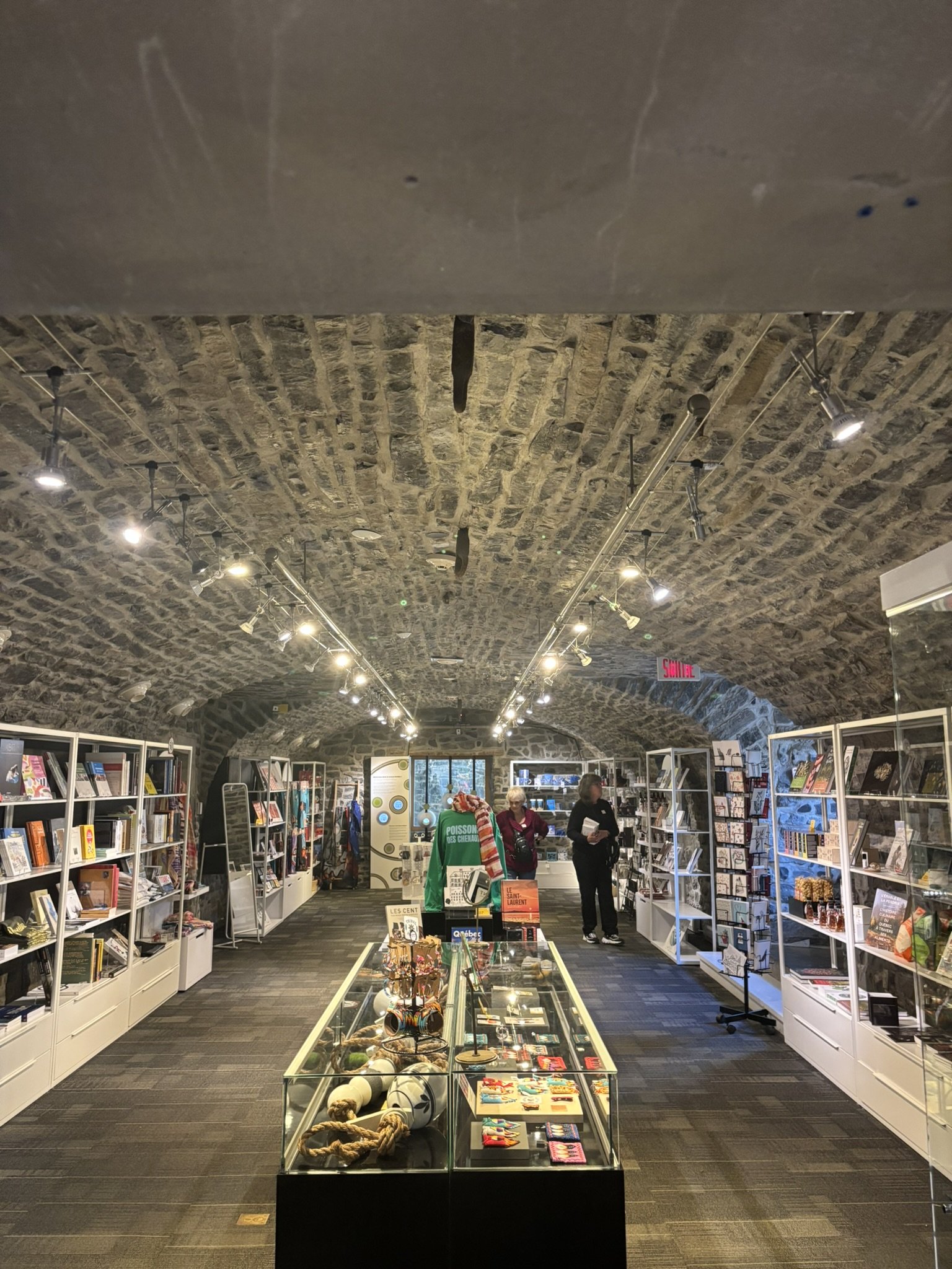
The Guillaume-Estèbe house, now part of the museum, was built in 1752 for a wealthy merchant, a member of the Superior Council of New France. Twenty-one rooms, eight fireplaces: a real sign of wealth at the end of the French Regime. Its stone vaults served as warehouses, safe from fire and close to the wharves. The modules on its architecture and archaeological artifacts are free. Further south, rue Saint-Pierre became Quebec City's "street of banks" around the turn of the 20th century: look up at the façades, notably at number 58, where our guide invited us to find five figures nicknamed the "watchmen". A great observation game!
Place-Royale, the cradle of French America
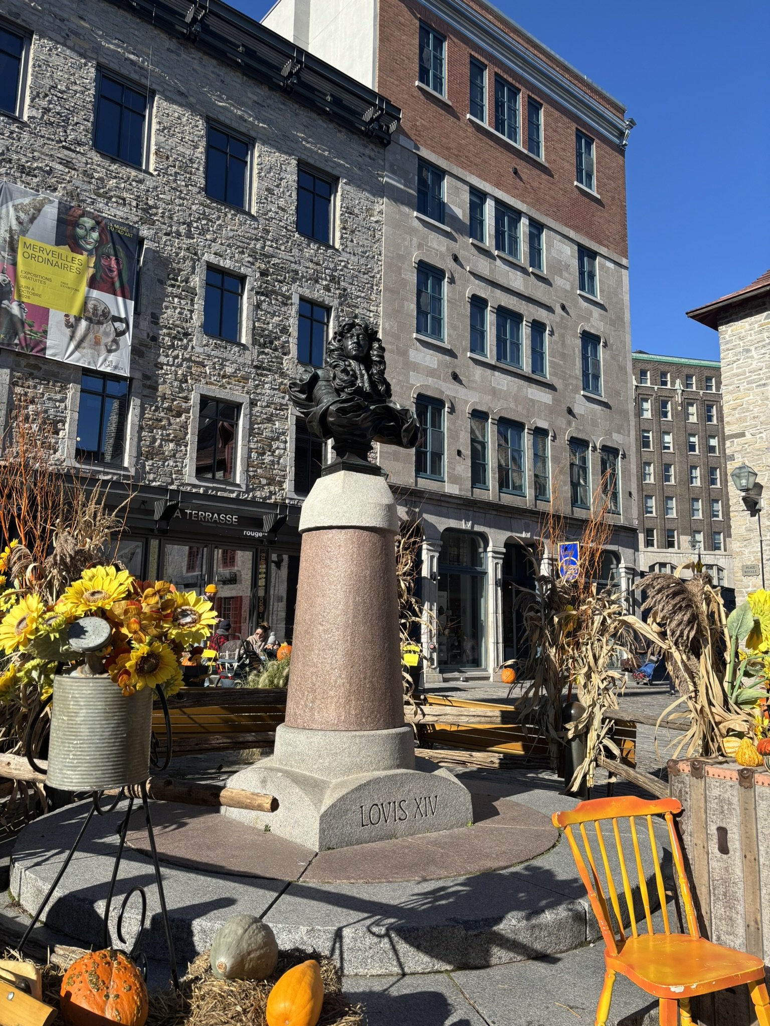
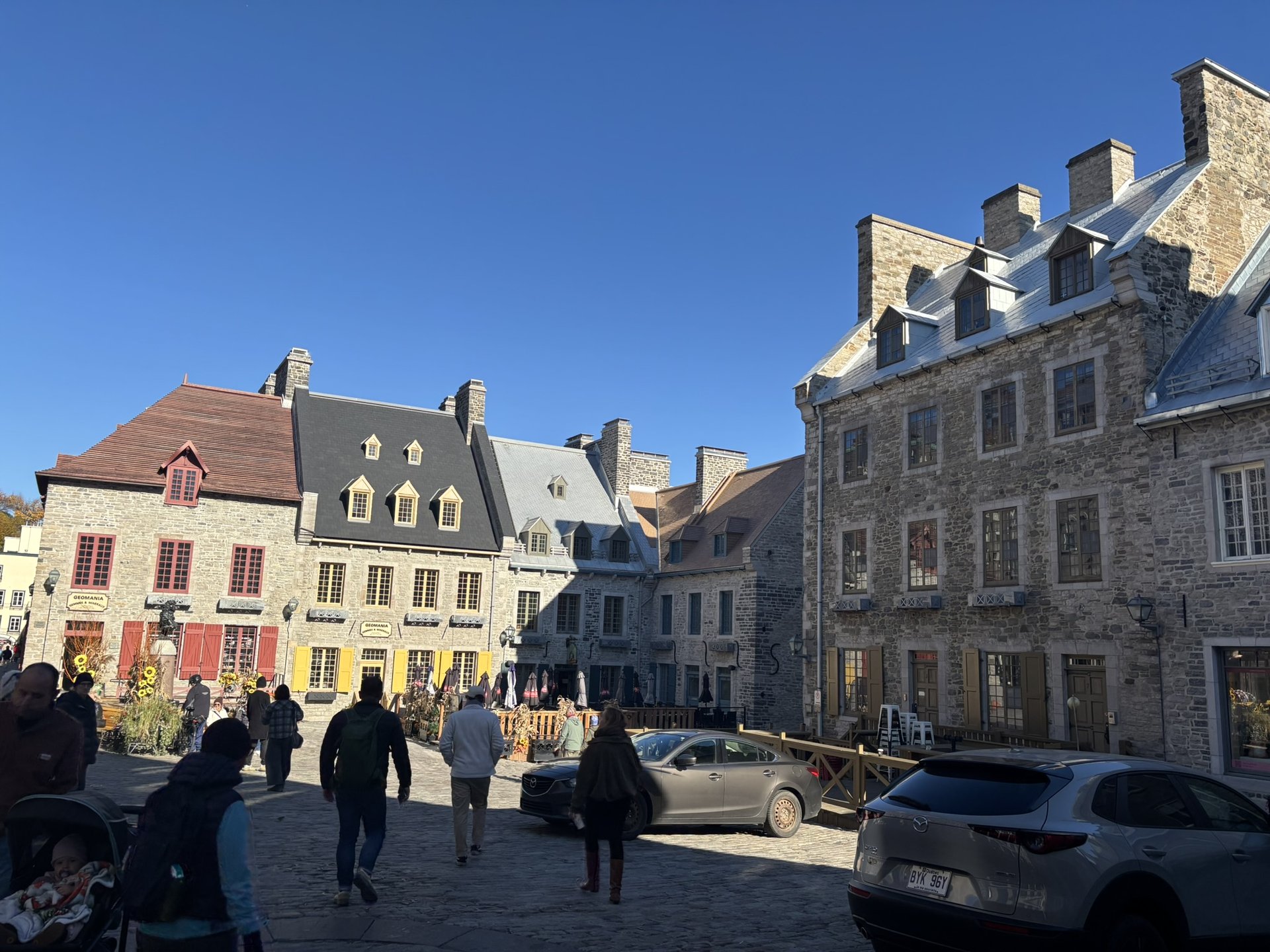
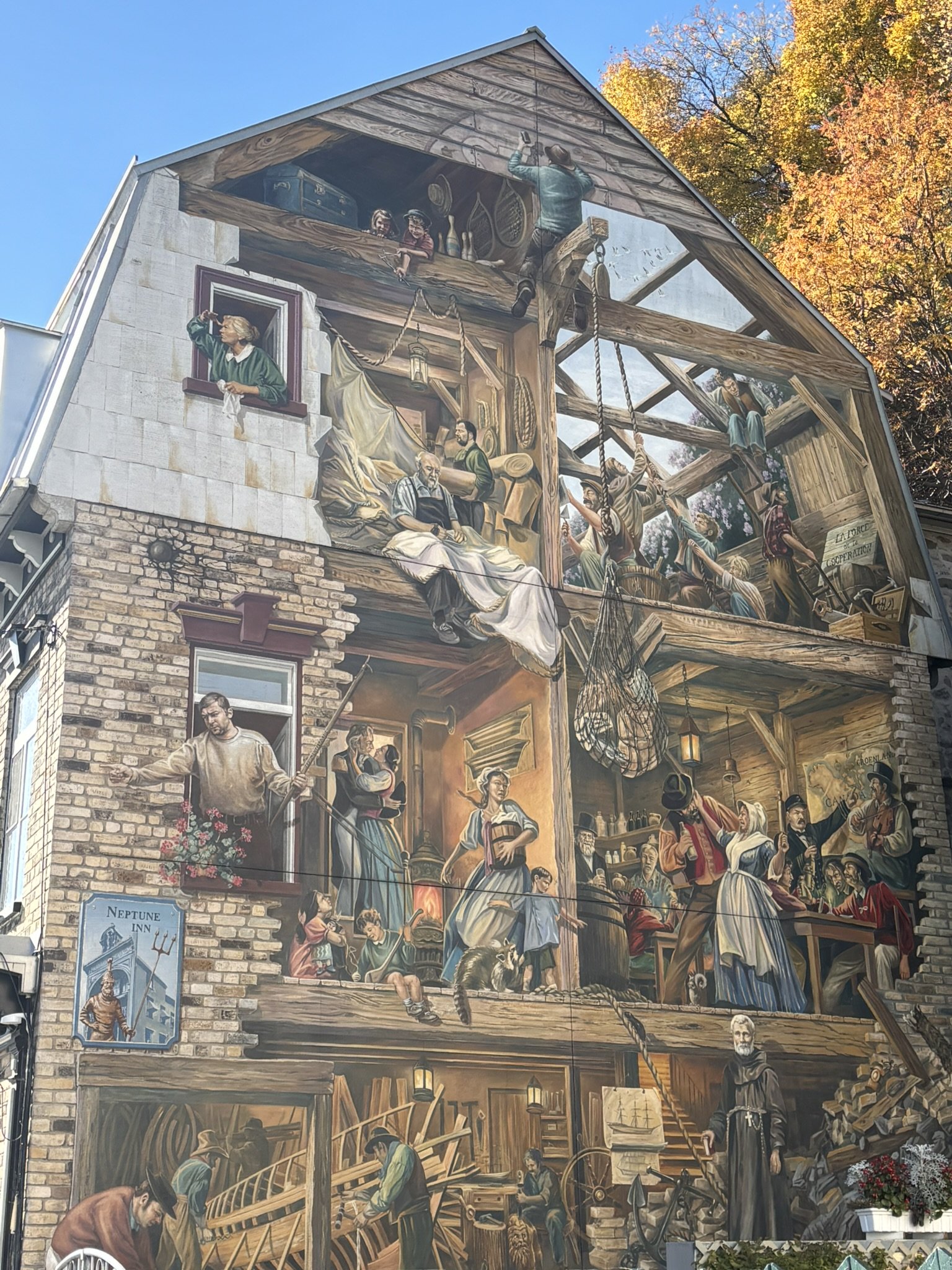
This is where Champlain built his Habitation in 1608. The space in front of it then became the town's first public square, a marketplace. In 1686, Intendant Champigny installed a bust of the king there to answer Louis XIV's wish for "royal squares" in his honour: that is where the name comes from. Around 1700, the merchants had it removed because it got in the way of deliveries! The current bust, a gift from France, was installed in 1931 in memory of the first one. It is indeed Louis XIV, the Sun King.
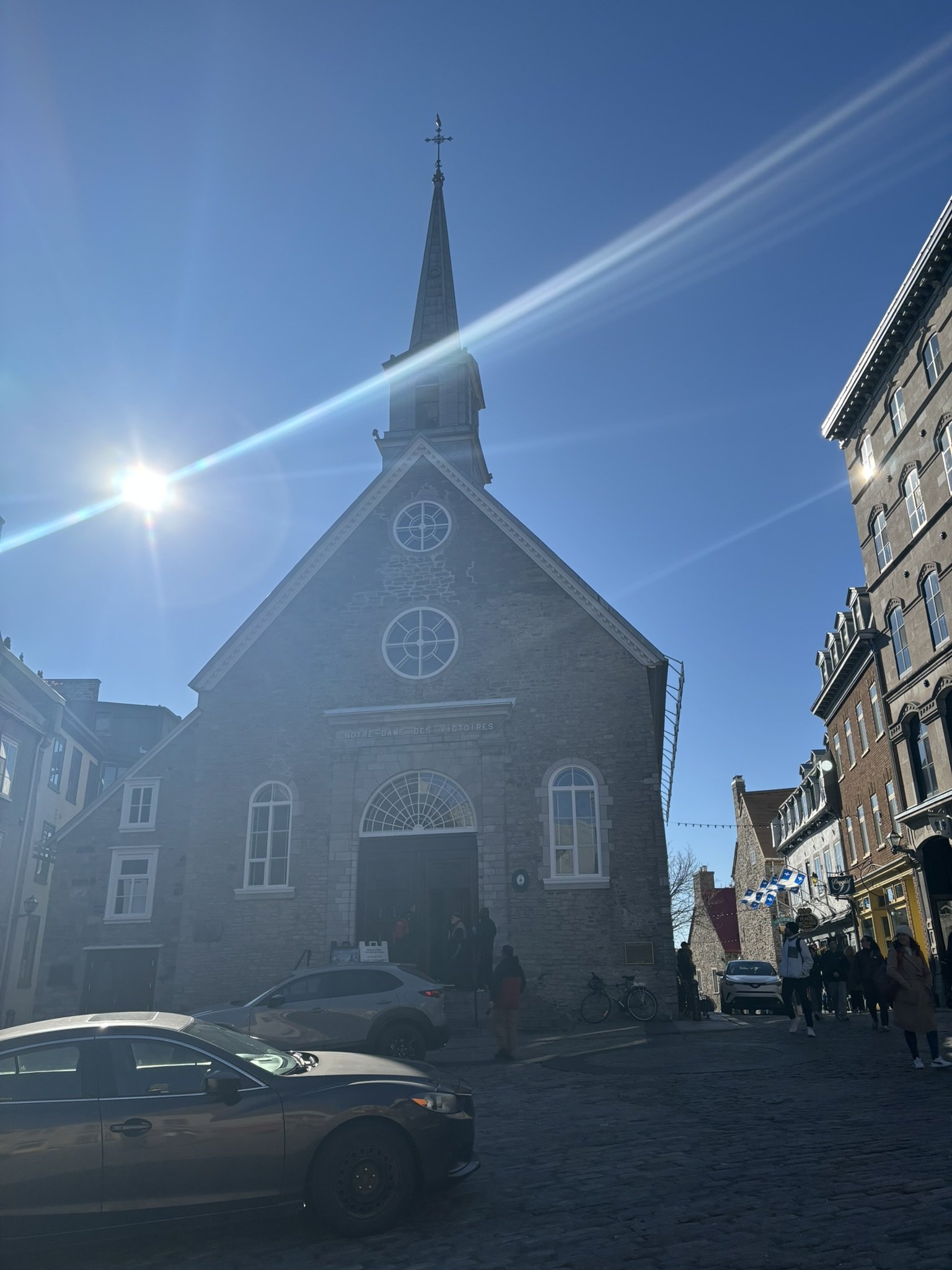
The church of Notre-Dame-des-Victoires, begun in 1688 on the site of the Habitation, dominates the square. Its name recalls two "victories": the defence of Quebec against Admiral Phips in 1690, then the shipwreck of Admiral Walker's fleet in 1711, which never reached the town. Devastated by the bombardment of 1759, it was rebuilt within its own walls. It closes for the season in early October, as do the guided tours of Place-Royale: we admired it from the outside. The same goes for the Atelier du patrimoine vivant, where the organization ès TRAD introduces visitors to traditional skills with artisans in summer.
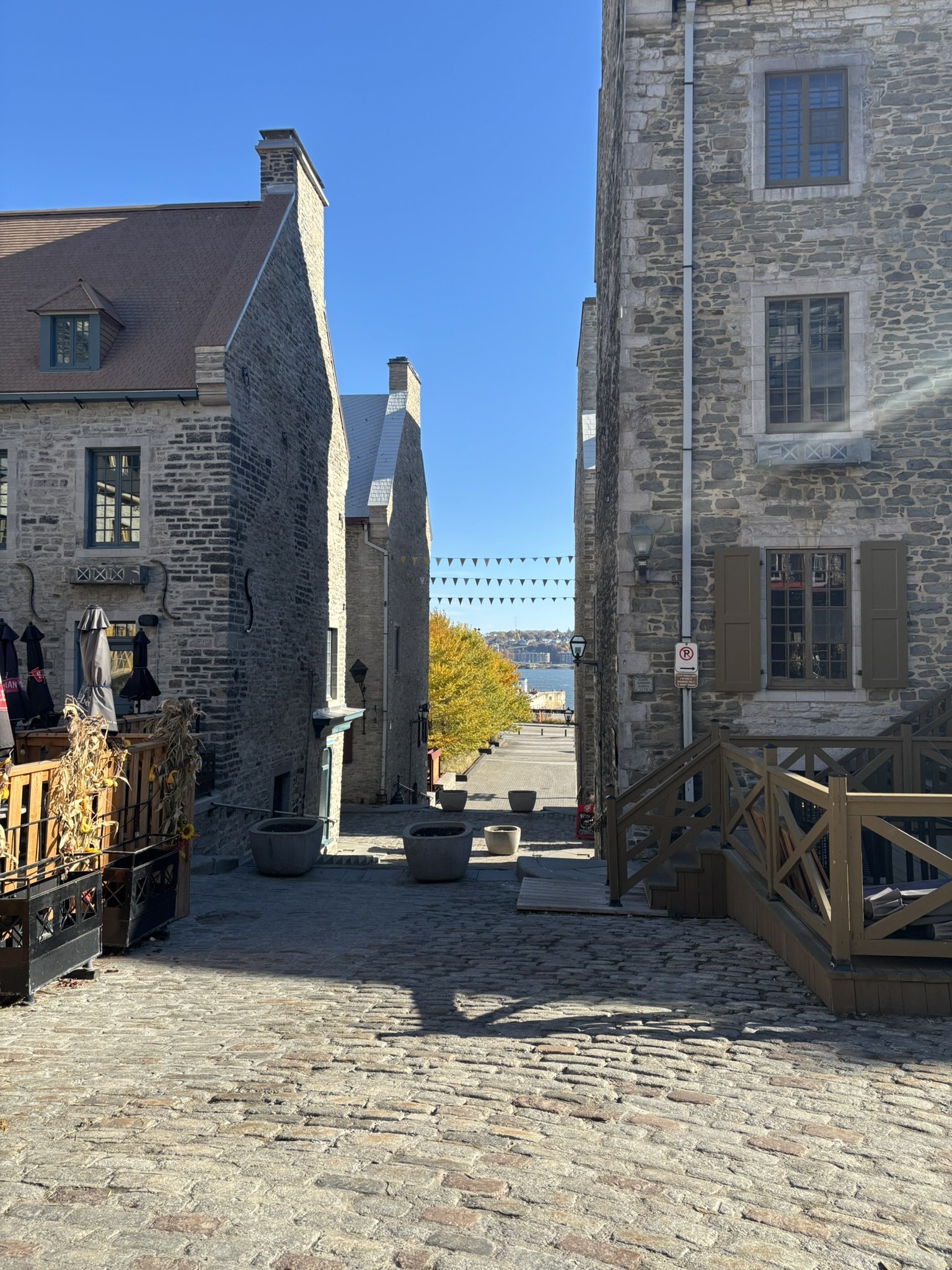
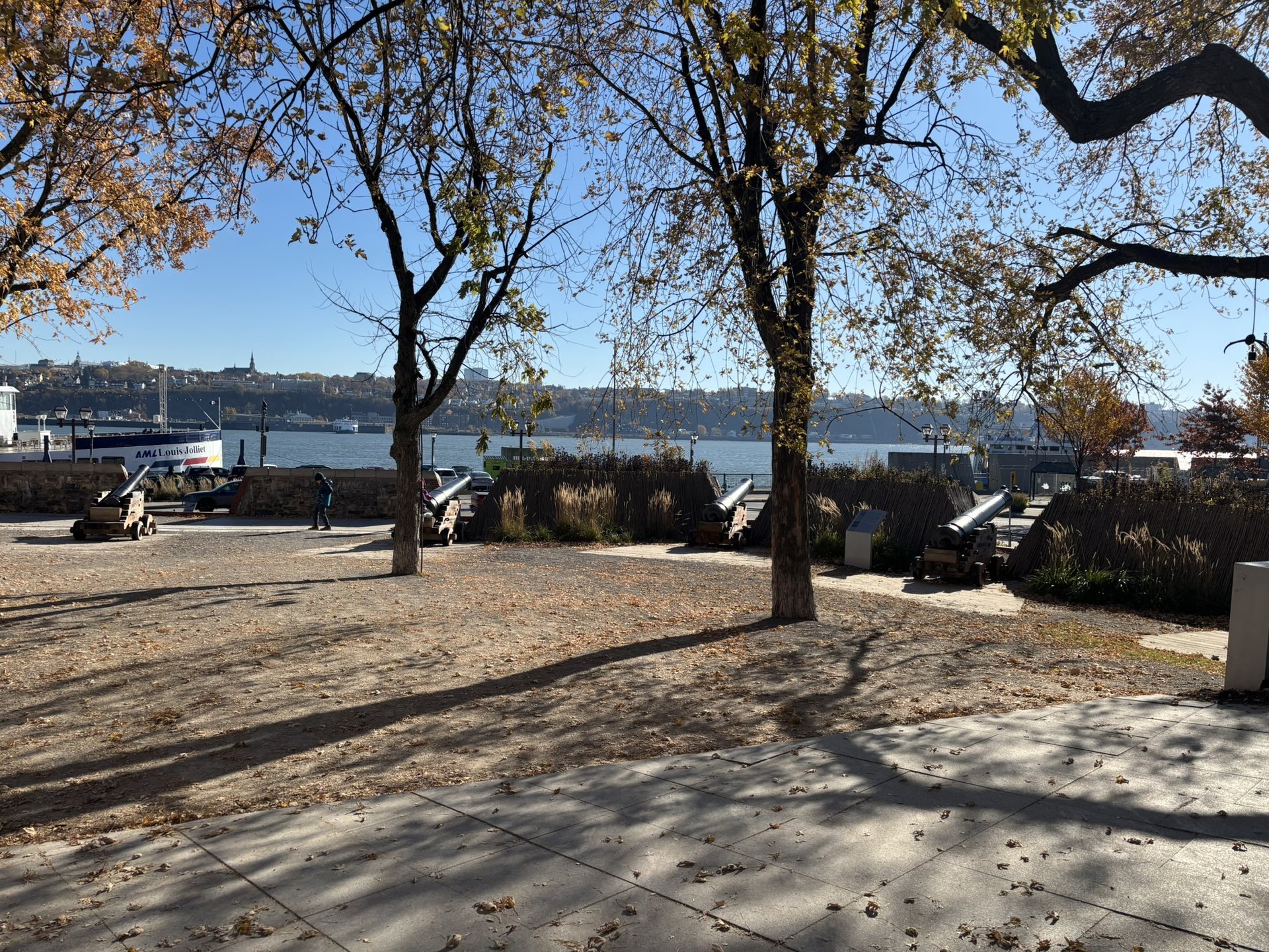
Take time to look at the houses: very steep roofs, firewalls and big chimneys bear witness to the fear of fire. Almost all were restored or rebuilt in the 1960s and 1970s, starting with the Fornel house in 1962. A few steps away, on the river side, the Royal Battery, built in 1691 after Phips's attack, protected the port with its cannons.
Sous-le-Fort and Petit-Champlain
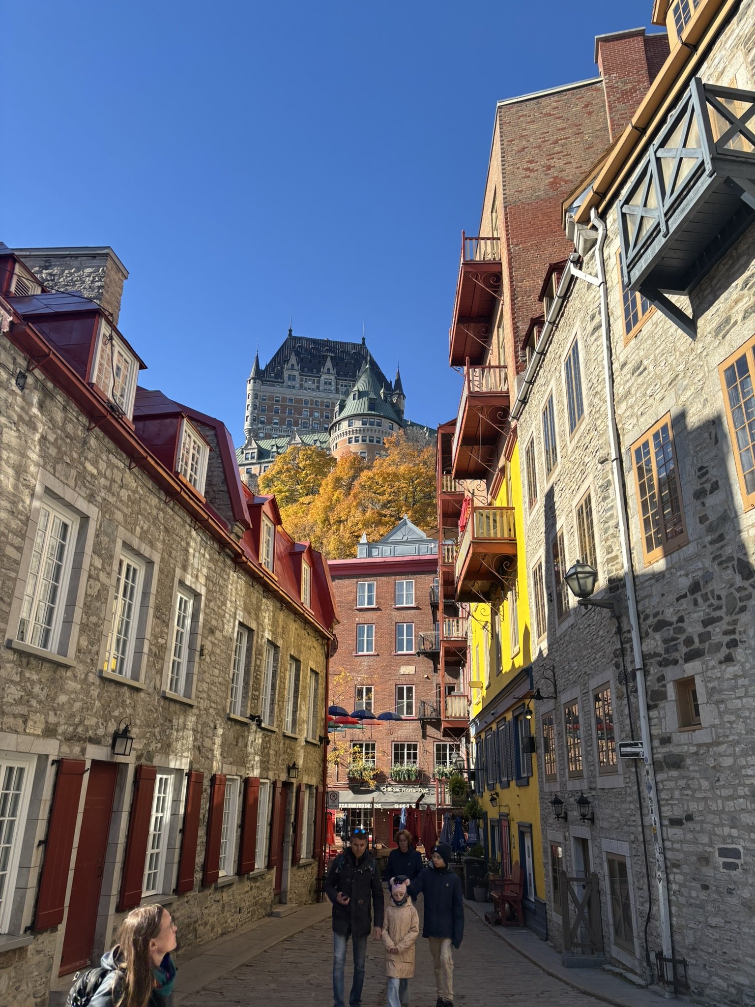
Rue Sous-le-Fort lives up to its name: it runs along the foot of the cliff, beneath the former Château Saint-Louis, the governors' residence. Look up at the Château Frontenac, right above.
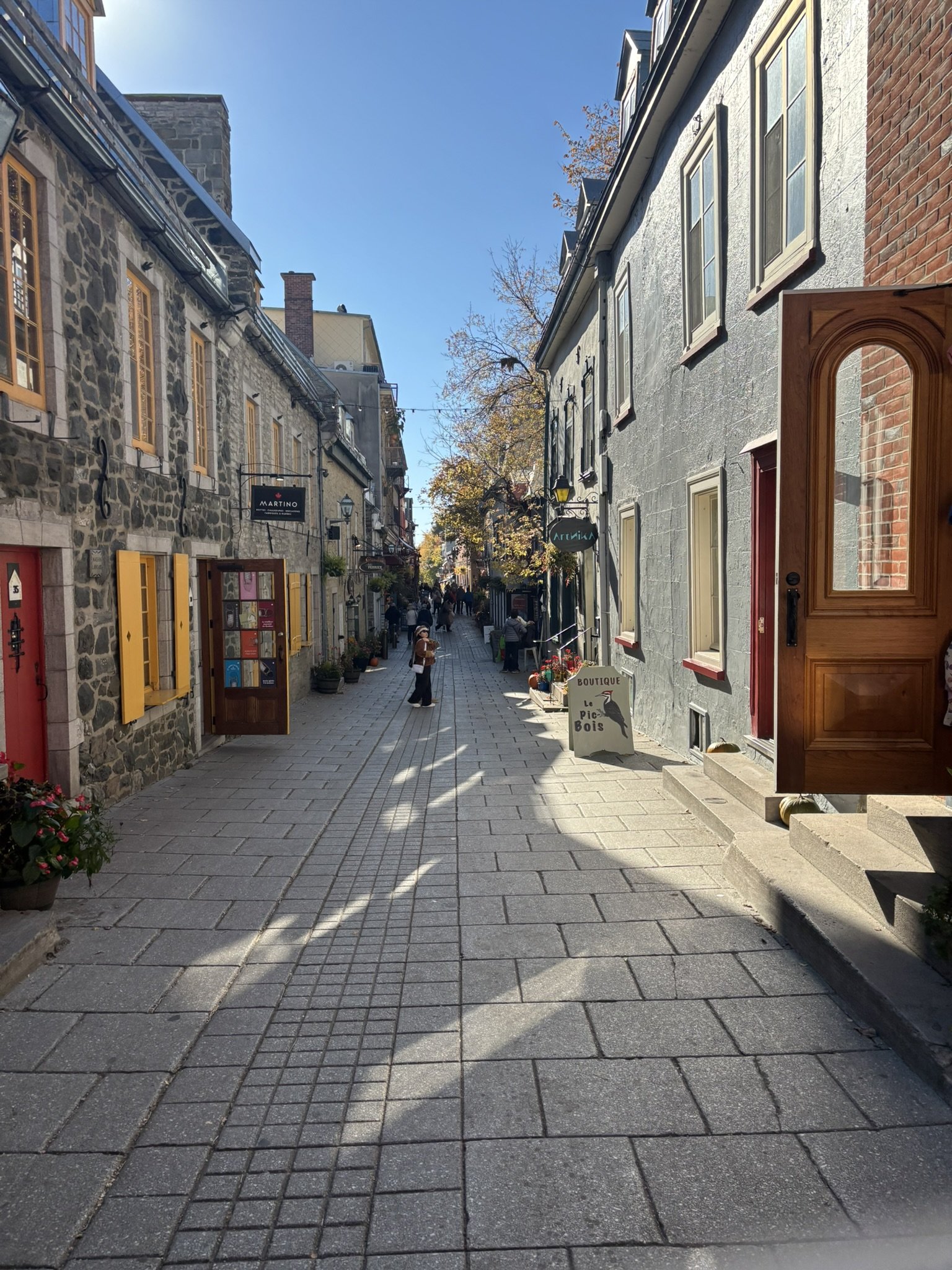
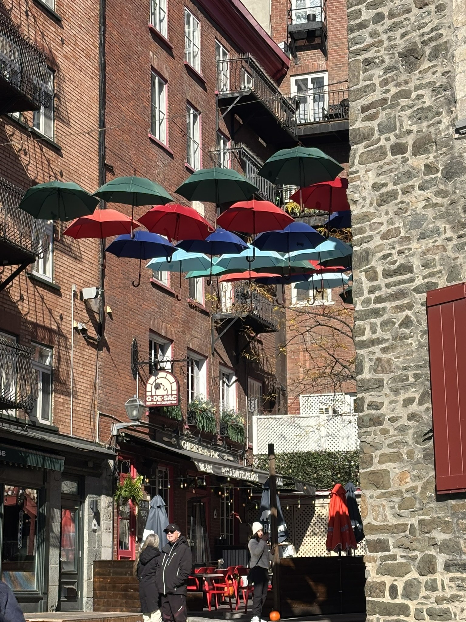
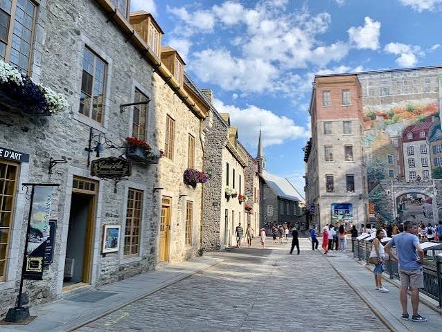
Next comes rue du Petit-Champlain, one of the oldest shopping streets in North America, squeezed between the cliff and the old shoreline. Notice the stonework and how narrow the street is.
Breakneck Stairs and back by Côte de la Montagne
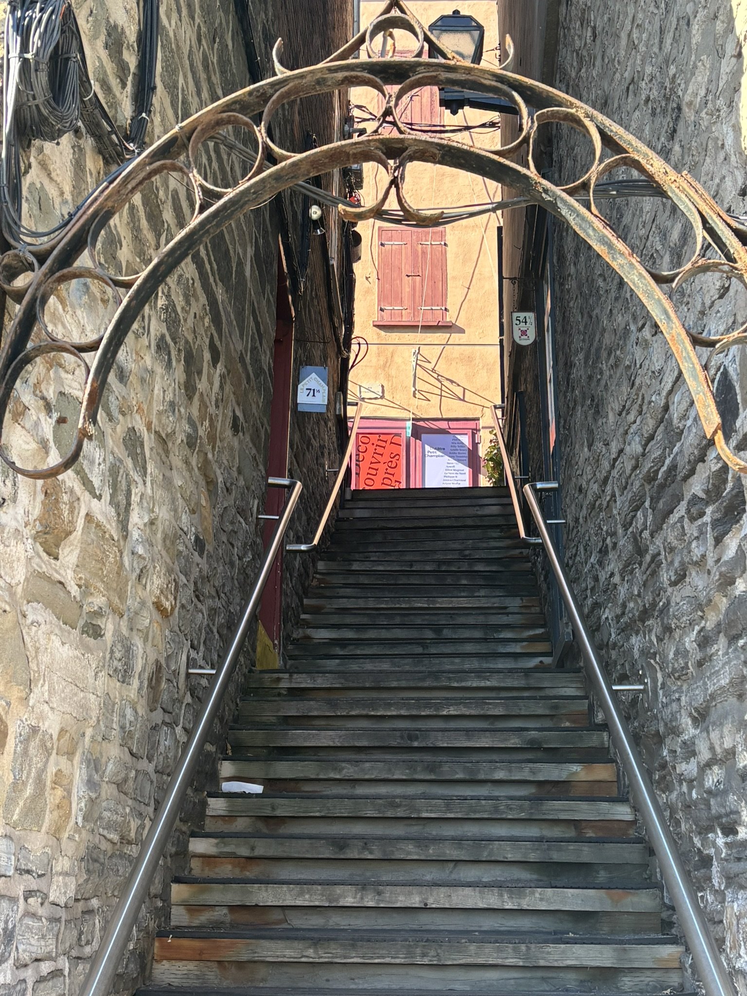
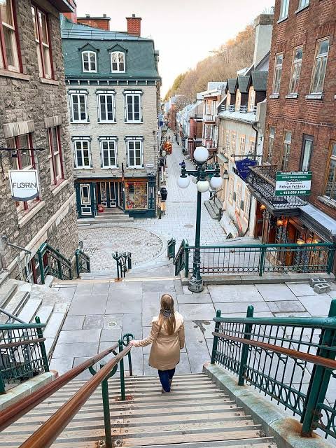
To climb back up, two choices: the Breakneck Stairs (escalier Casse-Cou), the oldest staircase in the city, whose name says it all, or the funicular, in service since 1879, whose lower station occupies the Louis-Jolliet house. A tip: stop halfway up the stairs for the plunging view over the rooftops and the river. At the top, at 10, rue Sainte-Anne, the Musée du Fort used to tell the story of the sieges of Quebec around a large model of the town around 1750; it is closed indefinitely. Instead, enjoy Place d'Armes and the Dufferin Terrace to see the whole loop again from above, before heading back down by Côte de la Montagne, the first road between the upper and lower town, to the parking lot.
The Anse au Foulon, where everything changed
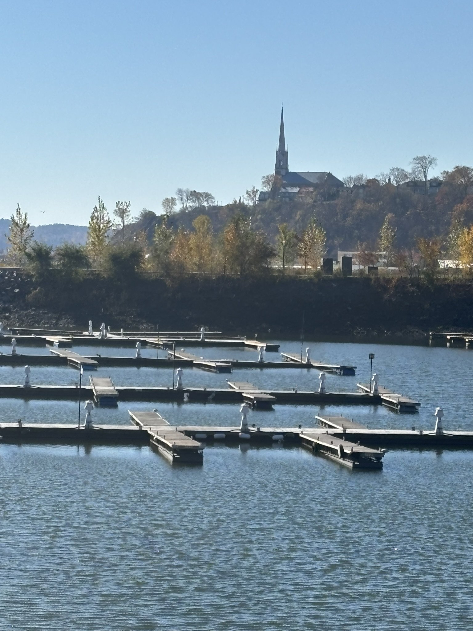
Last stage, about ten minutes' drive west along boulevard Champlain, beside the river. The name comes from a fulling mill, where woollen cloth was beaten, operated here as early as 1710. But it was during the night of September 12 to 13, 1759 that the cove entered history: General Wolfe's soldiers landed here in silence, climbed the cliff by a path and, by morning, the British army was drawn up on the Plains of Abraham. The battle lasted less than an hour, and both Wolfe and Montcalm were mortally wounded. At the foot of the cliff, try to picture the climb at night, rifle and pack on your back!
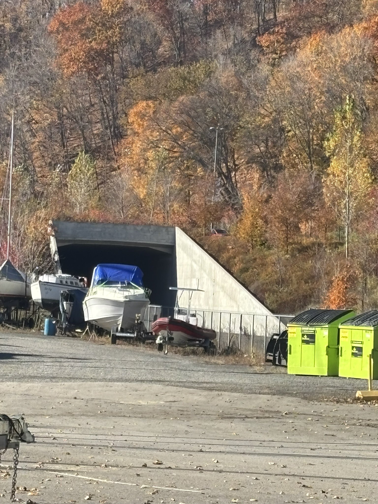
In the 19th century, the river's coves lived off the timber trade: huge rafts of logs, the cribs, were taken apart here to load ships bound for Great Britain. Later, a very popular beach drew thousands of swimmers, until it closed in 1969 because of pollution. Don't miss, from a distance, the south entrance of the railway tunnel, under a viaduct of boulevard Champlain. 1.6 km long and dug about a hundred metres below the Upper Town, it was inaugurated on June 1, 1931, the day the liner Empress of Britain first arrived: Canadian Pacific had built it to carry its passengers toward Montreal. Freight trains still use it, so stay well away from the tracks.
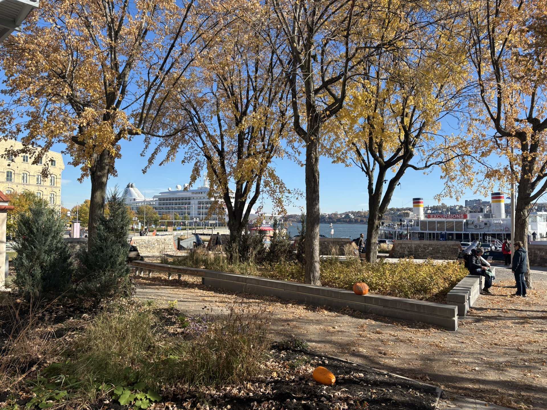
To finish, a walk on the Promenade Samuel-De Champlain, with Lévis across the river and the cliff stretching all the way to Cap Diamant. You immediately understand why the town believed itself protected on this side. A lovely way to wrap up the day, by the water.
Good to know
St. Matthew's Cemetery: 755, rue Saint-Jean, open from 7 a.m. to 8 p.m. in season. Parking meters on the neighbouring streets of the suburb.
Lower Town loop: paid parking at the Musée de la civilisation, 85, rue Dalhousie. Allow about an hour of walking, with cobblestones, slopes and stairs.
Musée de la civilisation: the Estèbe house modules are free. The museum is closed on Monday.
Closed at the end of October: the church of Notre-Dame-des-Victoires and the Place-Royale guided tours (until early October only), the Atelier du patrimoine vivant (summer only) and the Musée du Fort (closed indefinitely). To see inside the church, aim for the weekend before Thanksgiving.
Anse au Foulon: free parking for the Promenade Samuel-De Champlain, near the Yacht Club, at the foot of Côte Gilmour. If it is full, the Station de la Côte, at the bottom of Côte de Sillery, also has free spaces.
Côte Gilmour usually closes in winter: to go that way, go before November.