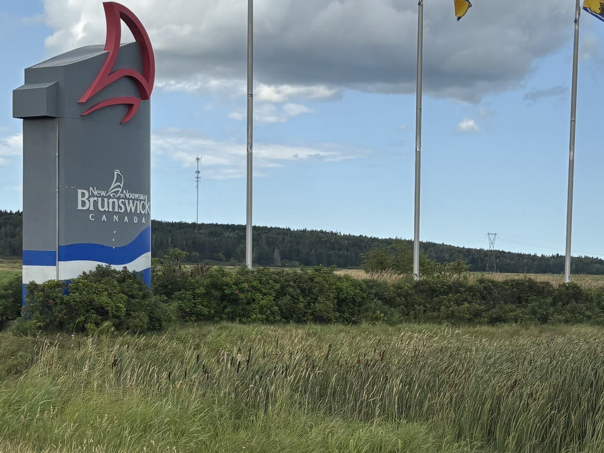
New Brunswick
Moncton and the Magnetic Hill
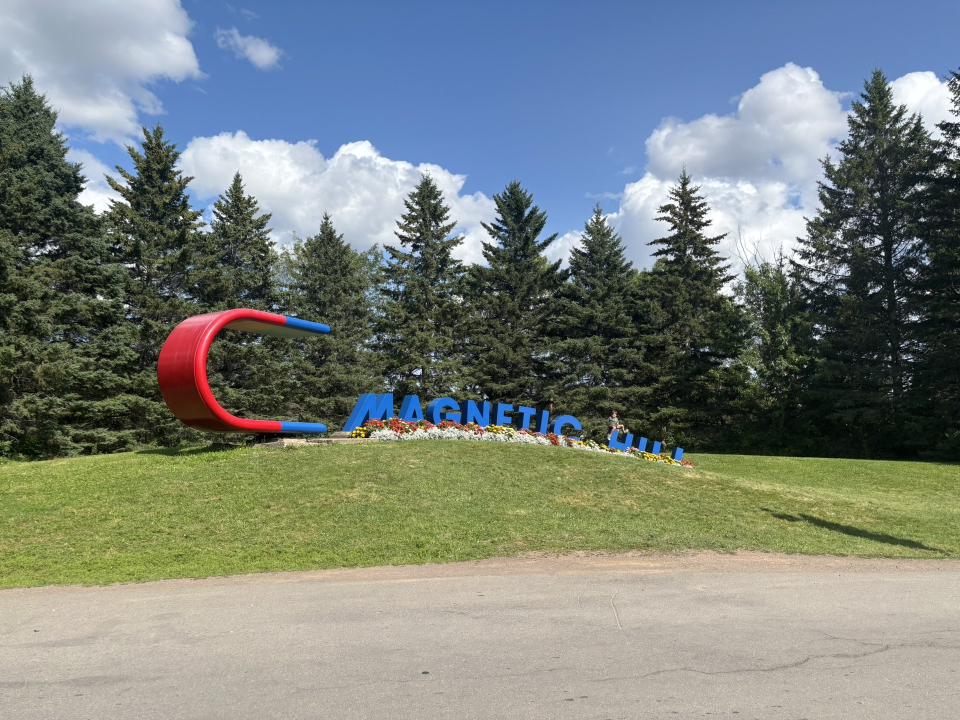
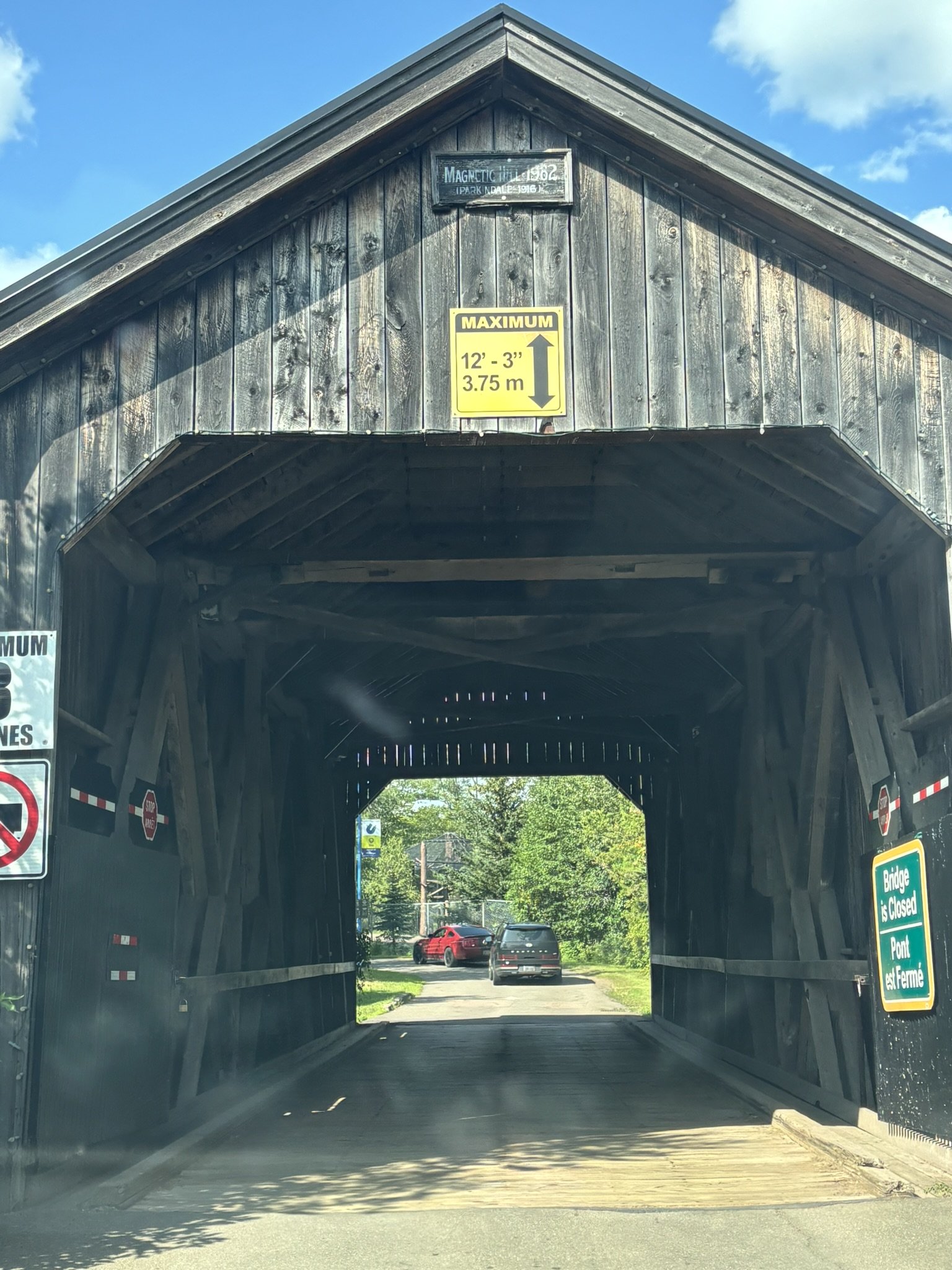
A hub of the Maritimes, Moncton is a bilingual city, young and surprisingly lively, set on the banks of the Petitcodiac River. You stroll along Riverfront Park, watch the tidal bore — that wave of tide that runs back up the river against the current — and find a fine scene of microbreweries and restaurants downtown. But the attraction that made Moncton's name is, of course, the famous Magnetic Hill. The principle is as simple as it is improbable: you drive down to the bottom of the hill, cut the engine, release the brake… and the vehicle starts climbing back up the slope on its own. It's obviously an optical illusion — the surrounding terrain removes every horizon reference and makes a descent look like a climb — but the effect is absolutely disconcerting, even when you know what's going on. The phenomenon has been known to local farmers since the 19th century, but it was a newspaper article in 1933 that made it famous. Muriel Lutes, who lived nearby, had the instinct to name it « Magnetic Hill » and to sell ice cream and souvenirs to the curious. In the 1950s, the site ranked third among the most visited attractions in Canada, behind Niagara Falls and Banff National Park! Figure a few dollars per vehicle in high season — a very small price for an experience you'll be telling people about for a long time.
Shediac — the giant lobster and Parlee Beach
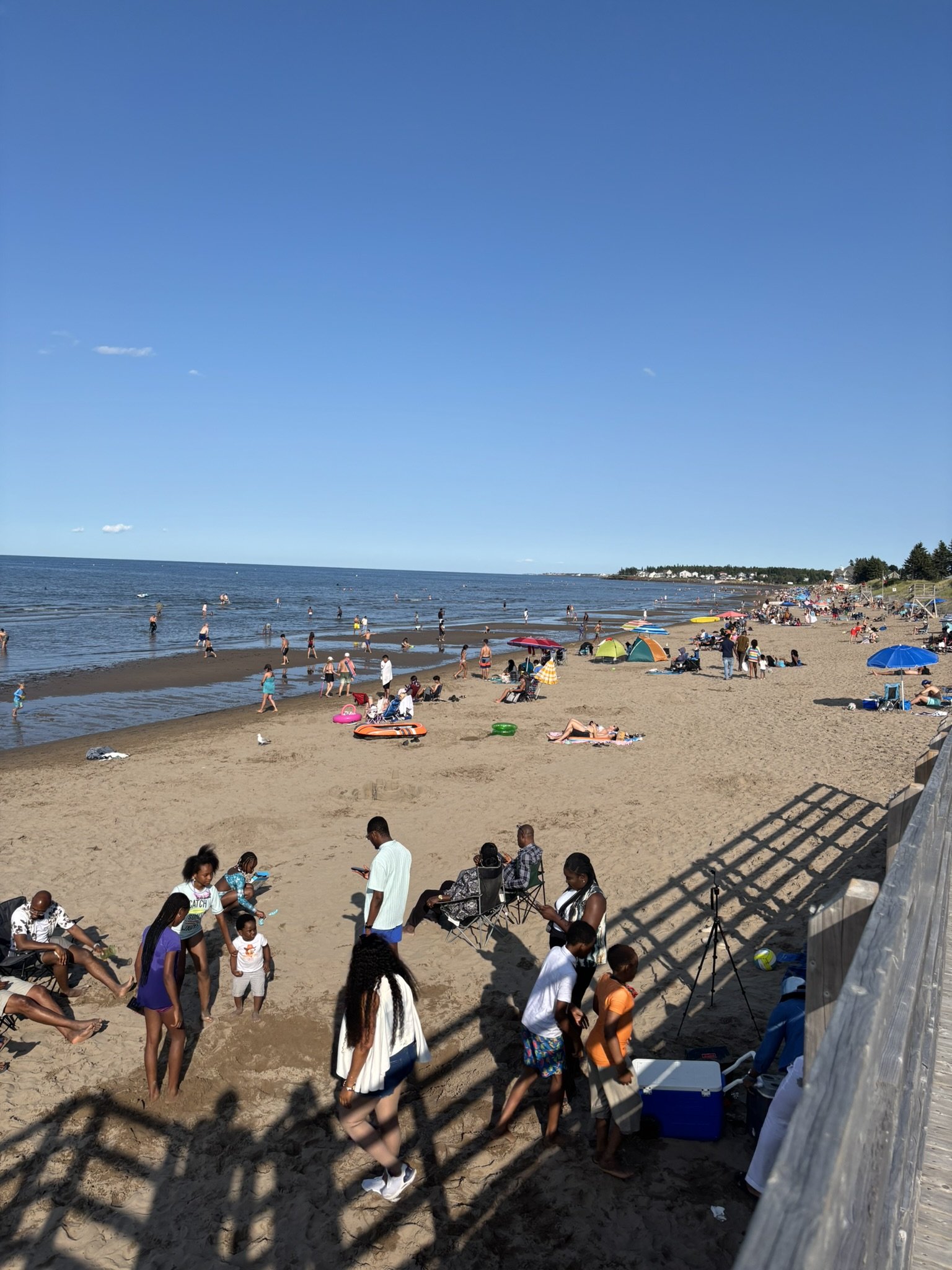
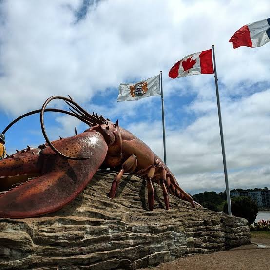
About twenty minutes from Moncton, Shediac announces itself without subtlety: a concrete lobster 11 metres long, 5 metres high and 90 tonnes greets you at the entrance to town, in Rotary Park. The work of New Brunswick sculptor Winston Bronnum, it's probably the most photographed monument in the province — and the obligatory photo of any visit to the area. Shediac calls itself the « lobster capital of the world », and with about 75 % French-speaking population, it is also deeply Acadian in culture and character. Right next door, in Pointe-du-Chêne, Parlee Beach is the most famous in New Brunswick — and with good reason. The Northumberland Strait offers the warmest salt water north of the Carolinas there: 20 to 22 °C in July, sometimes up to 24 °C in a good year. That's genuinely warm, not « warm for the Maritimes »! The beach is supervised, Blue Flag eco-certified, and busy all summer: volleyball, sand sculpture contests, daily activities. Fine sand, mild water, a family atmosphere — hard to do better for a seaside break.
A night at Camping Plage Gagnon
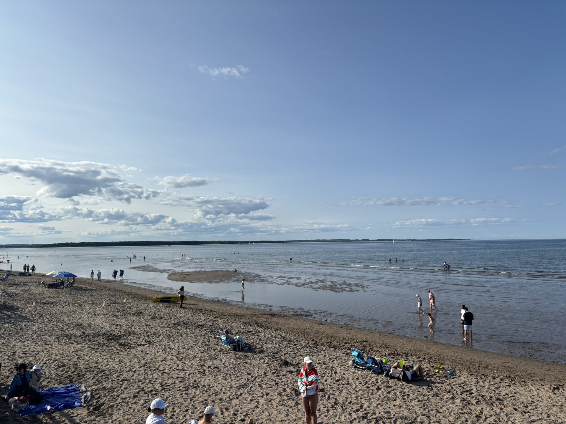
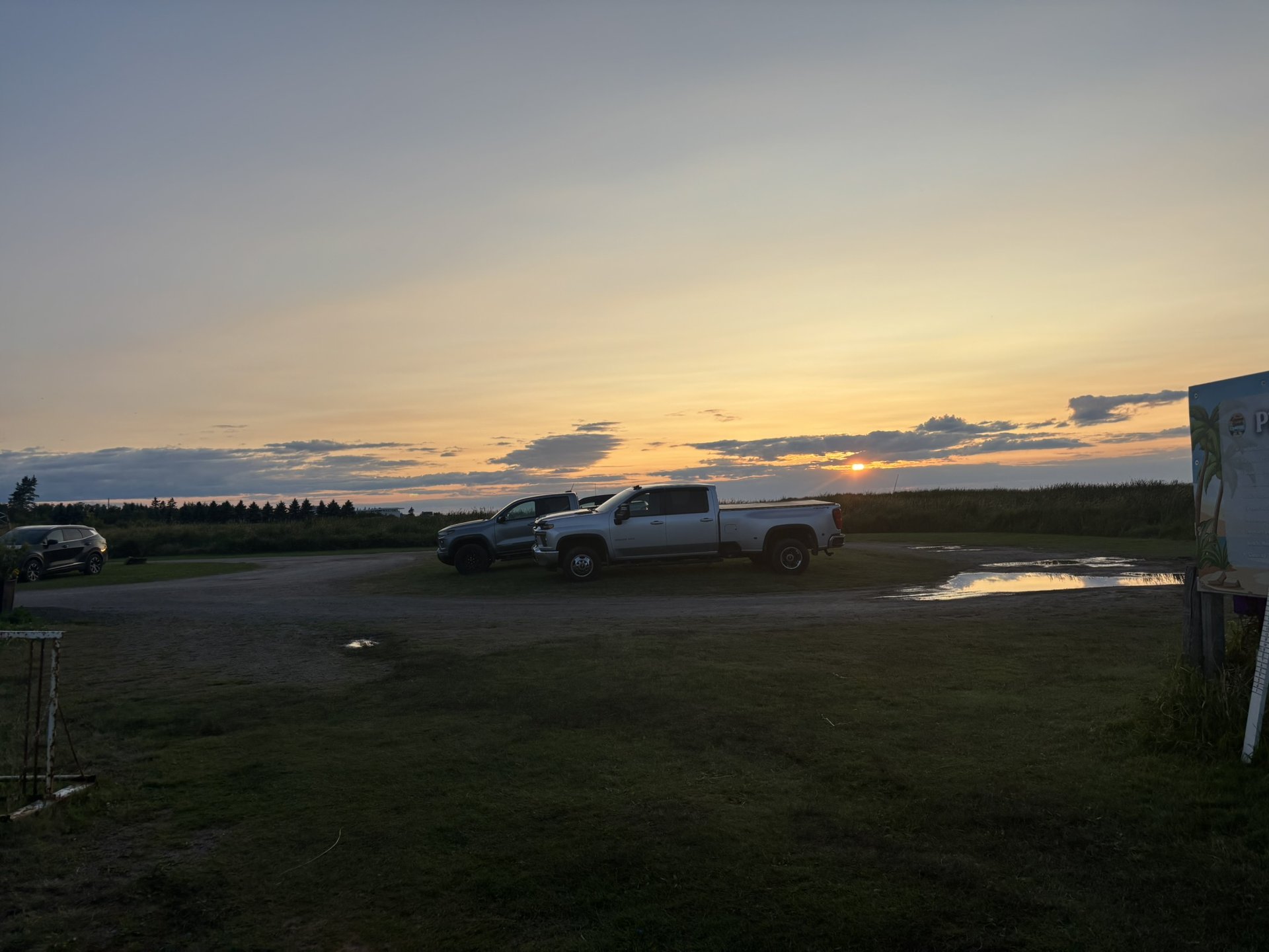
A dozen kilometres east of Shediac, on the boundary between Cap-Pelé and Grand-Barachois, Camping Plage Gagnon is a large family campground set directly on the Northumberland Strait. The business has been family-run since it began, and several campers have been coming back every summer for more than forty years — which says a lot about the atmosphere. The campground has some 270 sites, mostly seasonal, with full services, well-kept washroom buildings, laundry, a heated pool, playgrounds and basketball courts. But the real selling point is the direct beach access: kilometres of clean, open sand, five minutes' walk from the sites, with that surprisingly mild water of the Acadian coast. And above all — above all — the sunset. You settle onto the sand at the end of the day, the horizon catches fire above the strait, and you understand why the regulars speak of it with so much affection. It's the kind of end of day that justifies the detour all on its own.
The Bouctouche dune
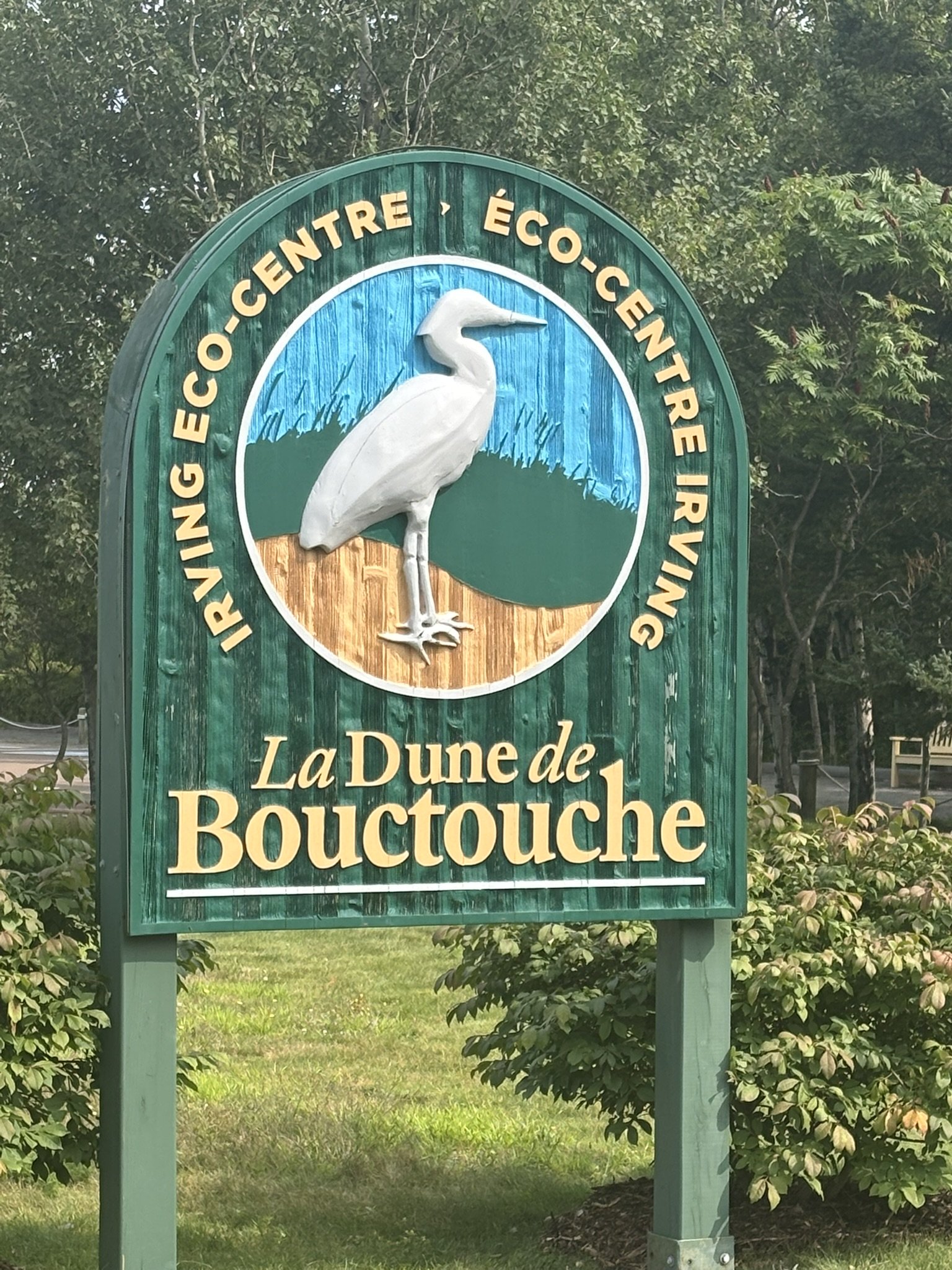
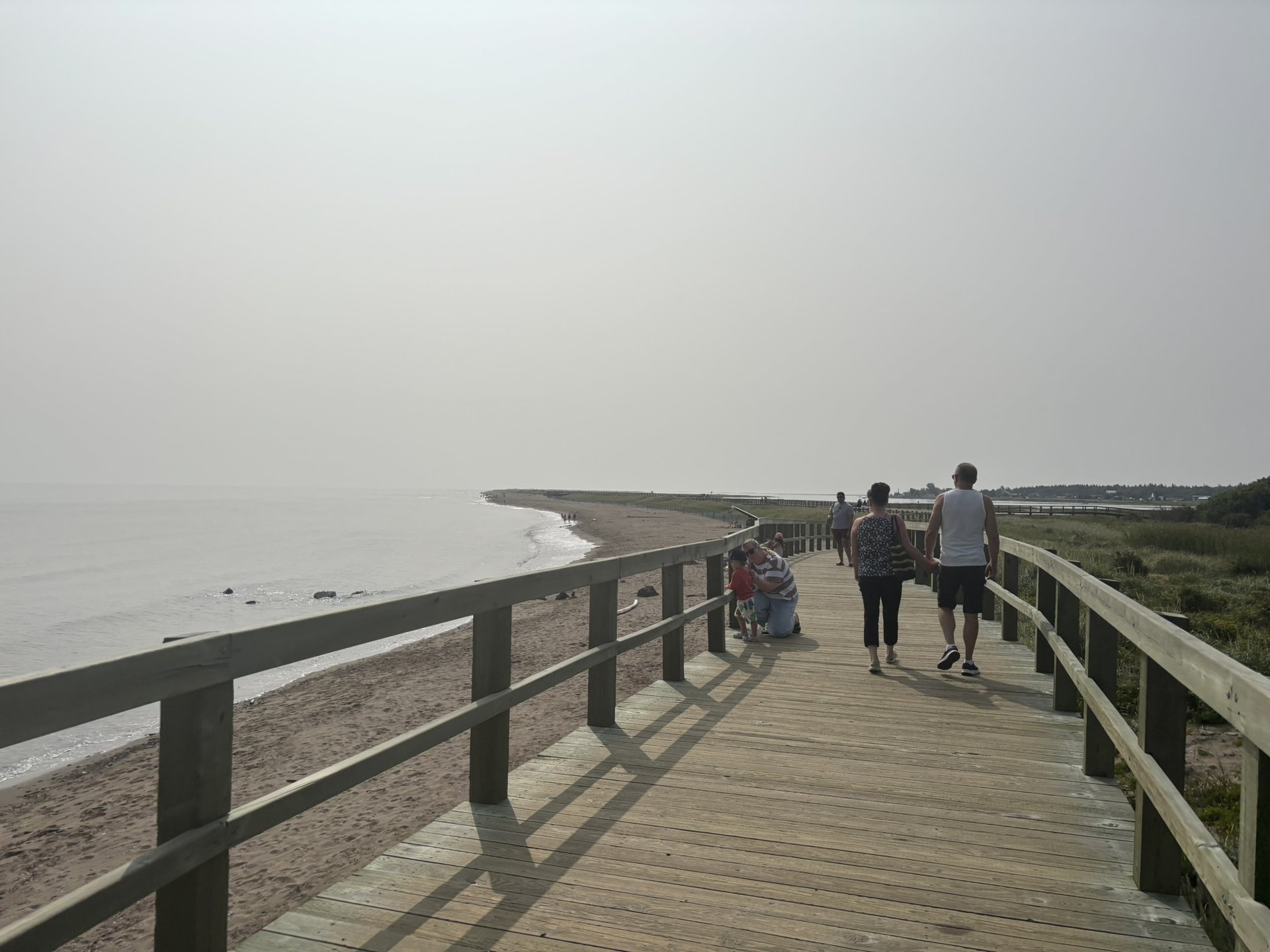
North to Bouctouche, home of la Sagouine, for one of the finest natural sites in the province: the Bouctouche Dune, protected by the Irving Eco-Centre. Formed more than 2,000 years ago by the combined action of wind, tides and currents, this tongue of sand reaches 12 kilometres into the Northumberland Strait to frame Bouctouche Bay. It's one of the last great coastal dunes in northeastern America. To protect this fragile ecosystem — home to rare plants and nesting birds — access is by a wooden boardwalk that winds above the marram grass and the salt marshes. You can watch the wildlife and the plants without ever setting foot on the fragile sand. An observation tower completes the visit and offers a superb panorama over the bay. Access is free, but limited: dogs are not allowed and the number of visitors at any one time is capped. An interpretation centre, open from May to September, offers exhibitions and guided tours — it's worth stopping in before you walk. And if you feel like it, you can keep going along the beach well past the boardwalk: the full dune means more than four hours of walking there and back in loose sand!
The Acadian Peninsula
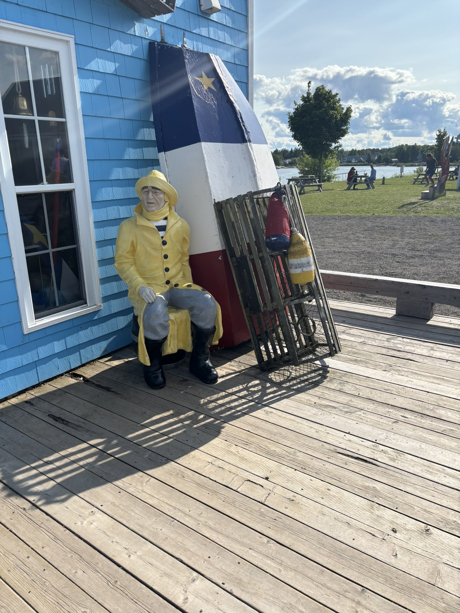
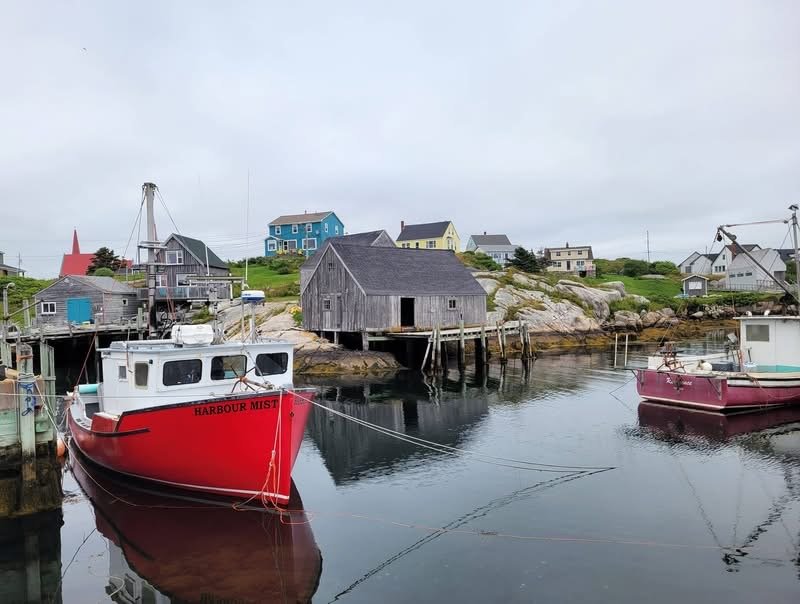
Driving up Route 11 along the Acadian coast, you enter the Acadian Peninsula — the beating heart of New Brunswick's Acadia. Caraquet, Shippagan, Lamèque Island, Miscou Island: here French isn't a service language, it's the language of everyday life, with its own accent, its own vocabulary and its own music. The region lives off the sea — snow crab, lobster and oyster fishing — and that maritime identity shows everywhere: in the wharves, in the colourful boats, on the plates. Caraquet, often presented as the cultural capital of Acadia, hosts the Festival acadien and the Village historique acadien, which recreates Acadian life from 1770 to 1949 with interpreters in period costume. And every August 15, the national holiday of Acadia, the whole peninsula erupts: star-marked flags in the windows, songs, and the famous Tintamarre — a joyful, deafening procession where people bang pots, bells and cauldrons in the streets to proclaim out loud that Acadia is still alive. A tradition born of the need to be heard after the Deportation. If your visit falls on that date, look no further: you're in exactly the right place.
A night at Camping Malybel
In Beresford, in the Chaleur region, Camping Malybel took us in for the night. The grounds sit on the Acadian coast, on the edge of the Beresford lagoon — a favoured habitat for several of the region's threatened species, which you can watch from a platform built on the site. The campground mixes wooded sections and open spaces, and it is frankly family-oriented: pool, water slide, mini-golf, playgrounds, community hall and a canteen whose poutine has a good reputation among the regulars. Sites with or without services, cabins for rent, free Wi-Fi and bilingual service. The location is its greatest strength: the Baie des Chaleurs has some of the warmest waters and the sandiest beaches in Canada, and the Beresford and Youghall beaches are only minutes away. Bathurst and its amenities are close by, as are the Pabineau Falls and the Daly Point nature reserve. One honest reservation: it's a very busy campground, with a lot of seasonal campers and sometimes music in the evening. Perfect if you're after the festive atmosphere; worth knowing if you were aiming for absolute quiet.
Back toward Quebec
Le Canyon des Portes de l'Enfer
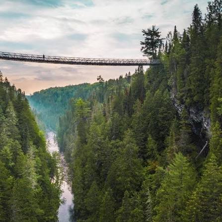
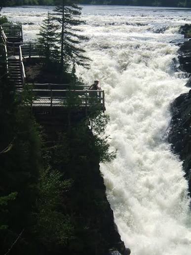
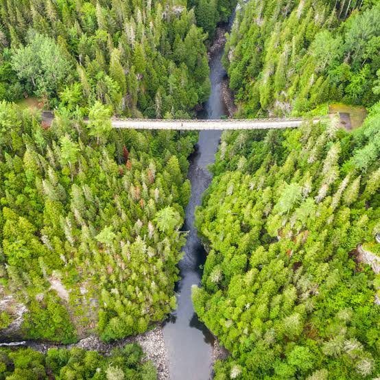
After the Matapédia valley, the last big stop before home: the Canyon des Portes de l'Enfer, in Saint-Narcisse-de-Rimouski, about 35 km from Rimouski. Run by Terfa, the site has been open to the public since 1990 and ranks among the most spectacular in the Bas-Saint-Laurent. The name comes from the log drives: in the old days, the trees met above the gorge and formed a natural bridge — an infernal obstacle for the drivers floating the wood down. The canyon begins with the Grand Sault falls, 20 metres high, then stretches nearly 5 kilometres between narrow walls that sometimes reach 90 metres. The highlight of the visit is, of course, the suspension footbridge: perched 63 metres above the Rimouski River, it's the highest in Quebec. Crossing it gives you a small and entirely delicious touch of vertigo, with a plunging view down the whole length of the canyon. For strong legs, there's also the famous Descente aux Enfers — 300 steps down to river level… and back up afterwards! A network of trails from 1 to 14 km crosses the site, in the heart of an old cedar forest, and leads to the Chaud falls at the other end. A snack bar, a shop and interactive routes round out the offering.
A night at parc national du Bic
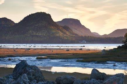
For the last night of the trip, it's hard to imagine better than parc national du Bic. On Route 132 west of Rimouski, this Sépaq park is one of the most photogenic in Quebec: steep headlands, deep bays, coves, islands, marshes and tidal flats that reveal themselves with the tides. It's a paradise for wildlife watching. Harbour seals and grey seals lounge there by the dozen on the rocks — Île aux Amours and the baie du Ha! Ha! are sure bets at low tide. You'll also come across porcupines, red foxes, white-tailed deer and a multitude of seabirds. On the trail side, there's everything: from the short family walk at Chemin-du-Nord to the climb up pic Champlain, which offers the park's most spectacular panorama over the river and the mountains of Charlevoix on the other side. But if there's one thing not to miss, it's the sunset. The Bic is known for its blazing ends of day over the St. Lawrence — and after two weeks on the road between the Côte-Nord, Labrador, Newfoundland and the Maritimes, it's a conclusion worthy of the trip. A small tip: the campsites are booked very early in the summer, and several trails depend on the tides. Check the schedules before you set out to walk!