Côte-Nord — the Manicouagan region
Route 389 — the legendary road north
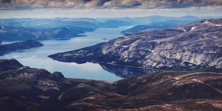
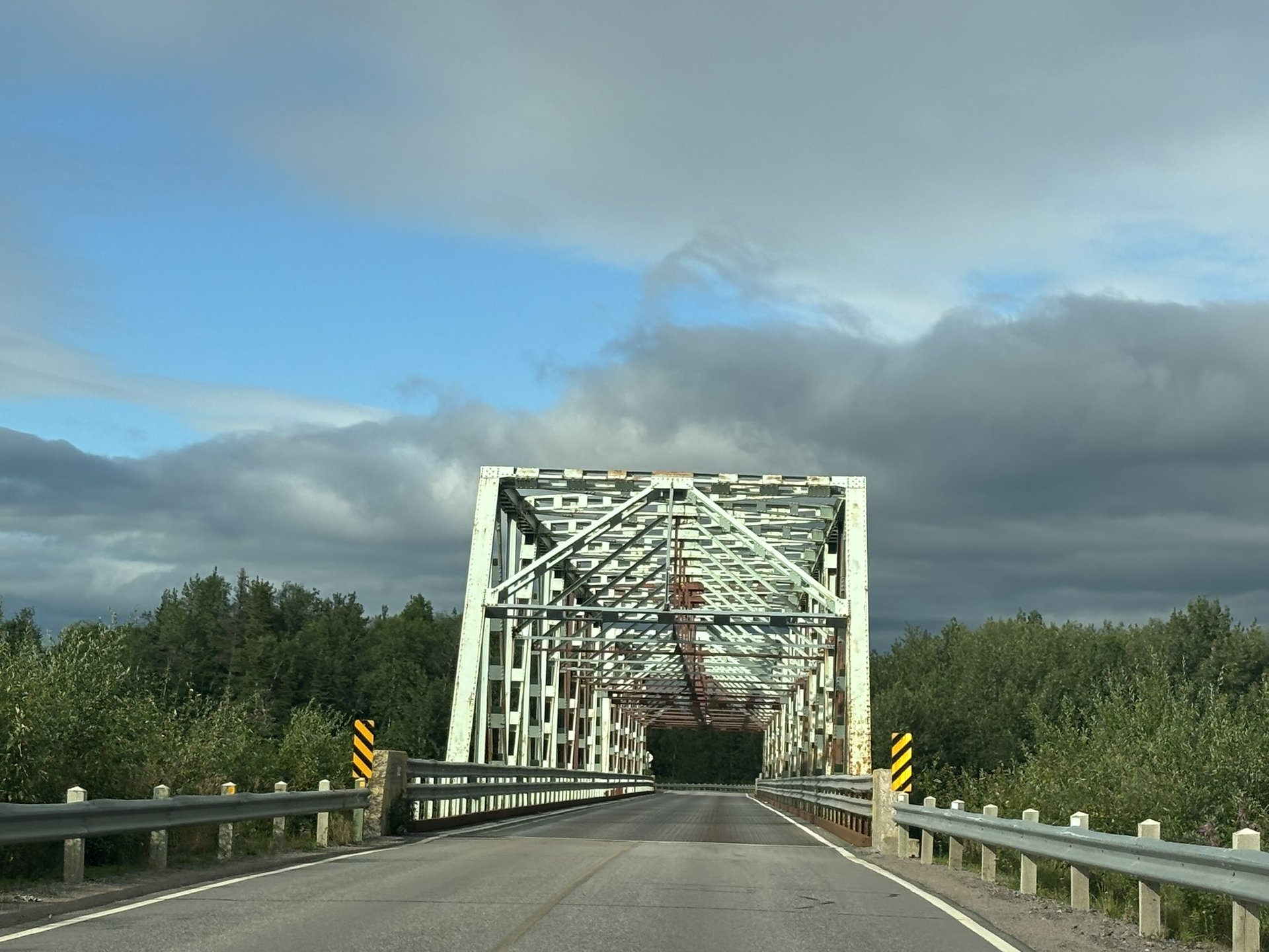
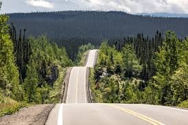
A road trip on Route 389 is one of Quebec's most underrated adventures. Stretching more than 560 kilometres between Baie-Comeau and Fermont, this remote road crosses wild territory, imposing hydroelectric works, mountain landscapes and one of the most remarkable geological formations in Canada. Along the way you are dazzled by the immensity of the boreal forest, the beauty of shimmering lakes and the heady feeling of being truly far from everything. The road winds through wild country, follows the Manicouagan River, crosses the Monts Groulx and passes emblematic sites such as Manic-5 and the Manicouagan Reservoir, nicknamed "the Eye of Quebec." Twisting but generally paved, the road is as demanding as it is exciting. Before reaching Fermont, you have to cross no fewer than 11 level crossings in just 52 kilometres — an experience that adds spice to the drive! An adventure worth having at least once in a lifetime.
Sleeping at the Motel de l'Énergie campground
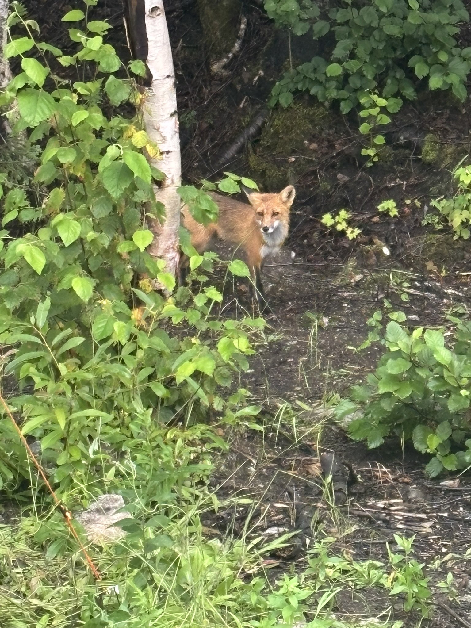
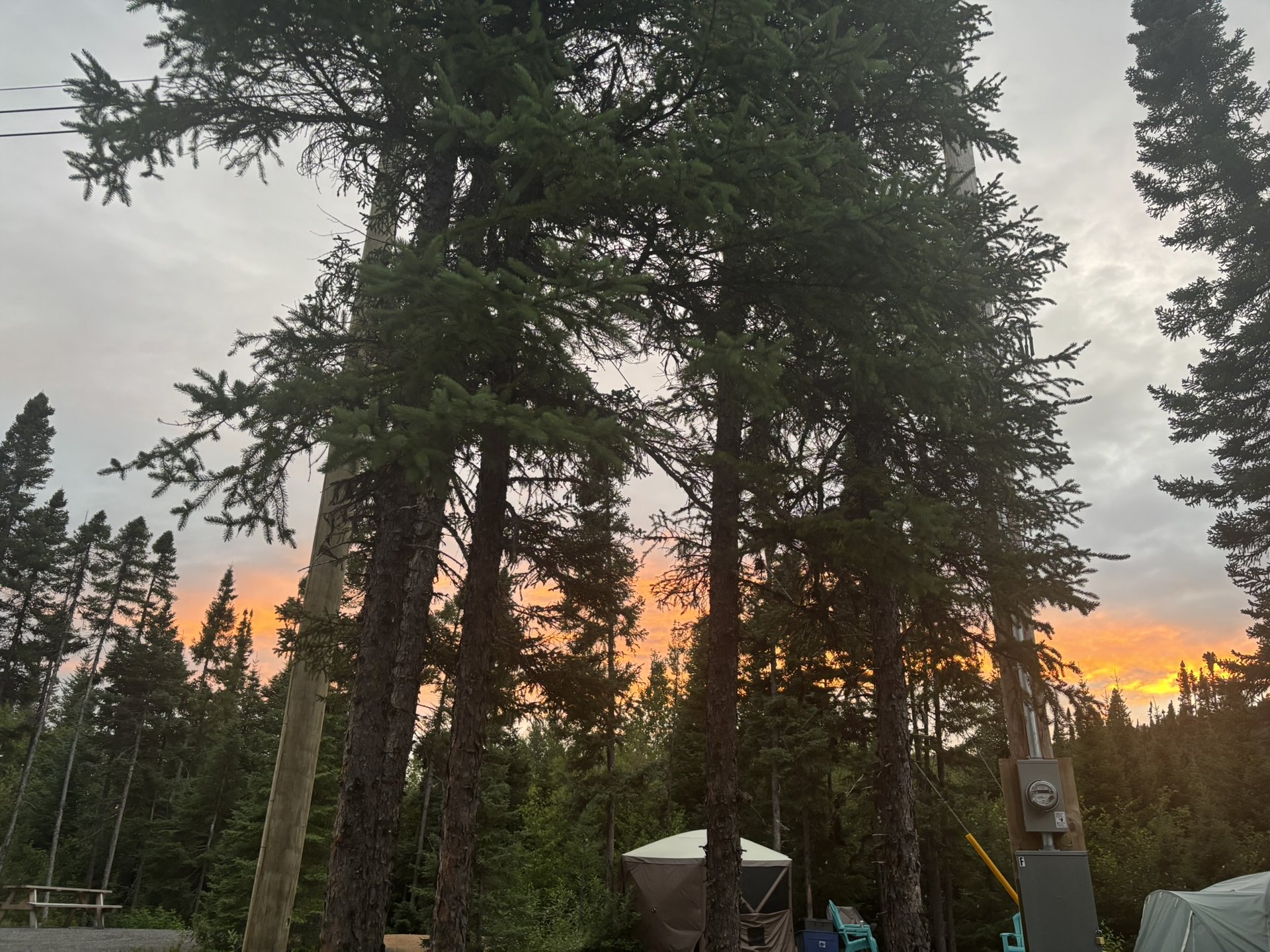
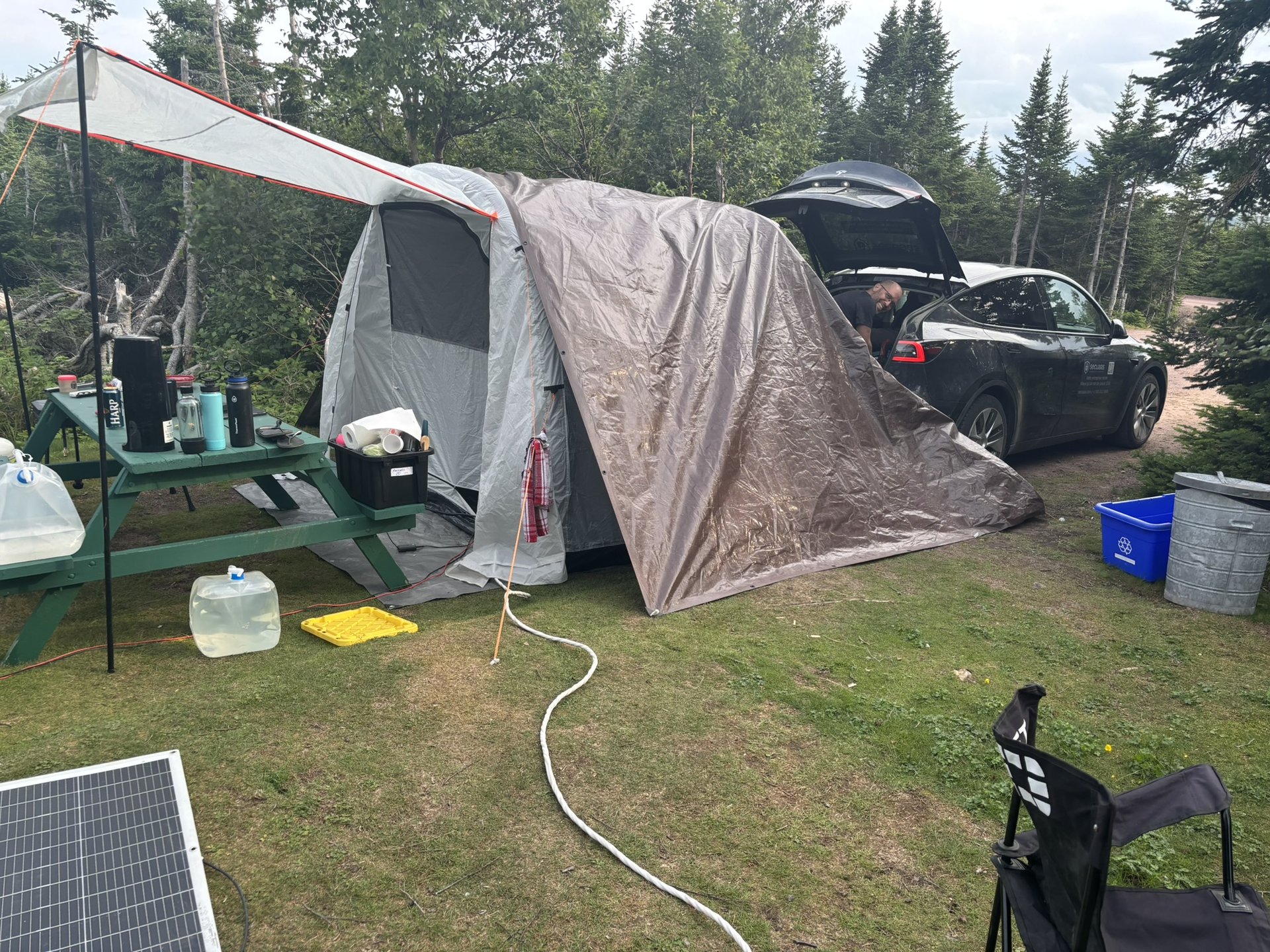
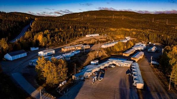
Before visiting Manic-5, the Motel de l'Énergie is the ideal place to stop and recover. Located at Manic-5, about 211 km north of Baie-Comeau, it is the only accommodation available in this area, giving travellers a comfortable break along their Route 389 journey. The motel offers literally everything under one roof: lodging, restaurant, gas station and licensed convenience store. A little bonus for campers like us: the motel also runs a campground, perfect for anyone travelling by RV or tent. You find everything you need for a fine night under northern stars, in a wild and peaceful setting. The rustic atmosphere and the staff's warm welcome make this stop a typically "Côte-Nord" experience. And what about that cute fox that wanders calmly around the grounds, tamed by the motel workers.
Guided tour of Manic-5
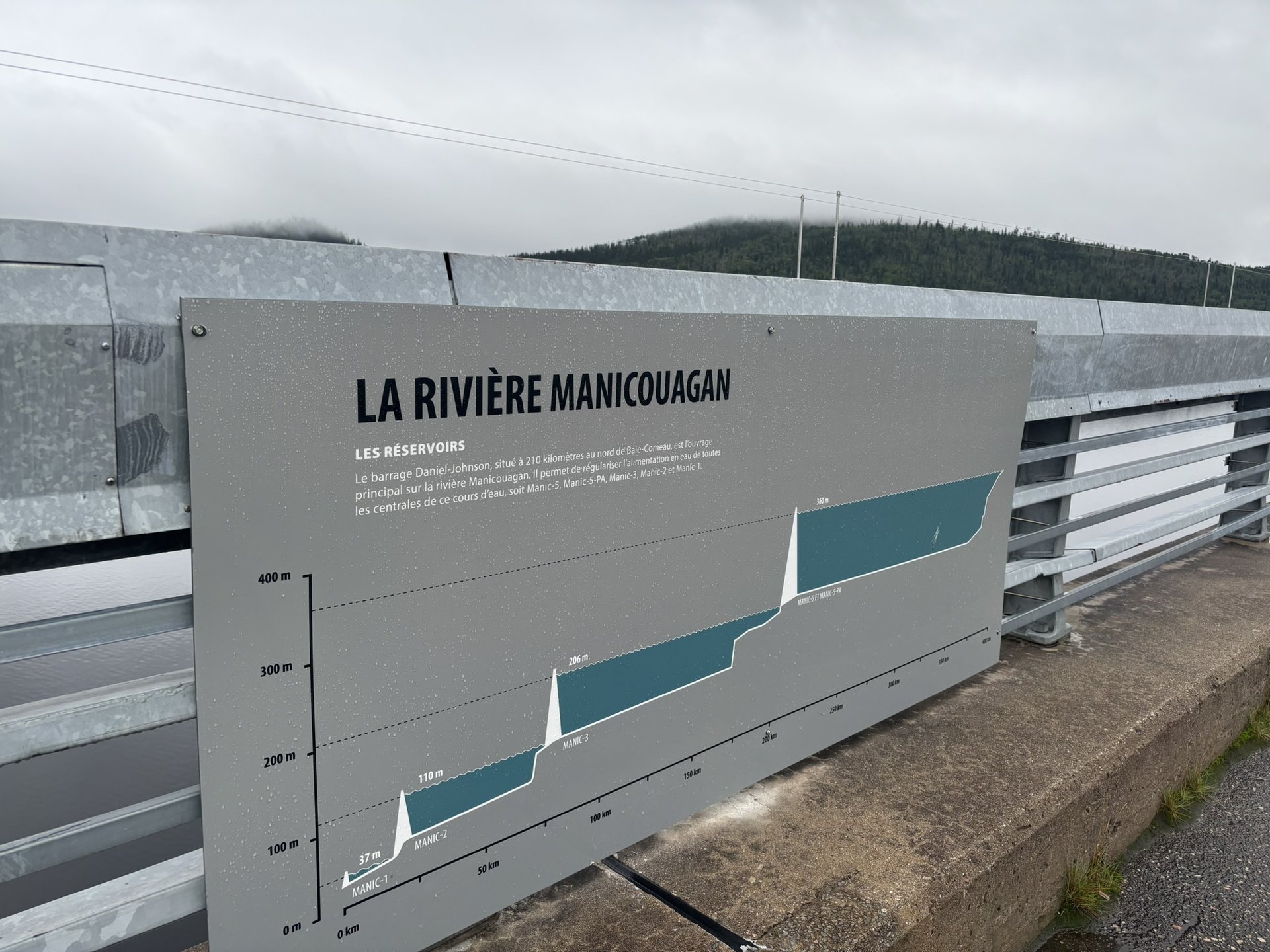
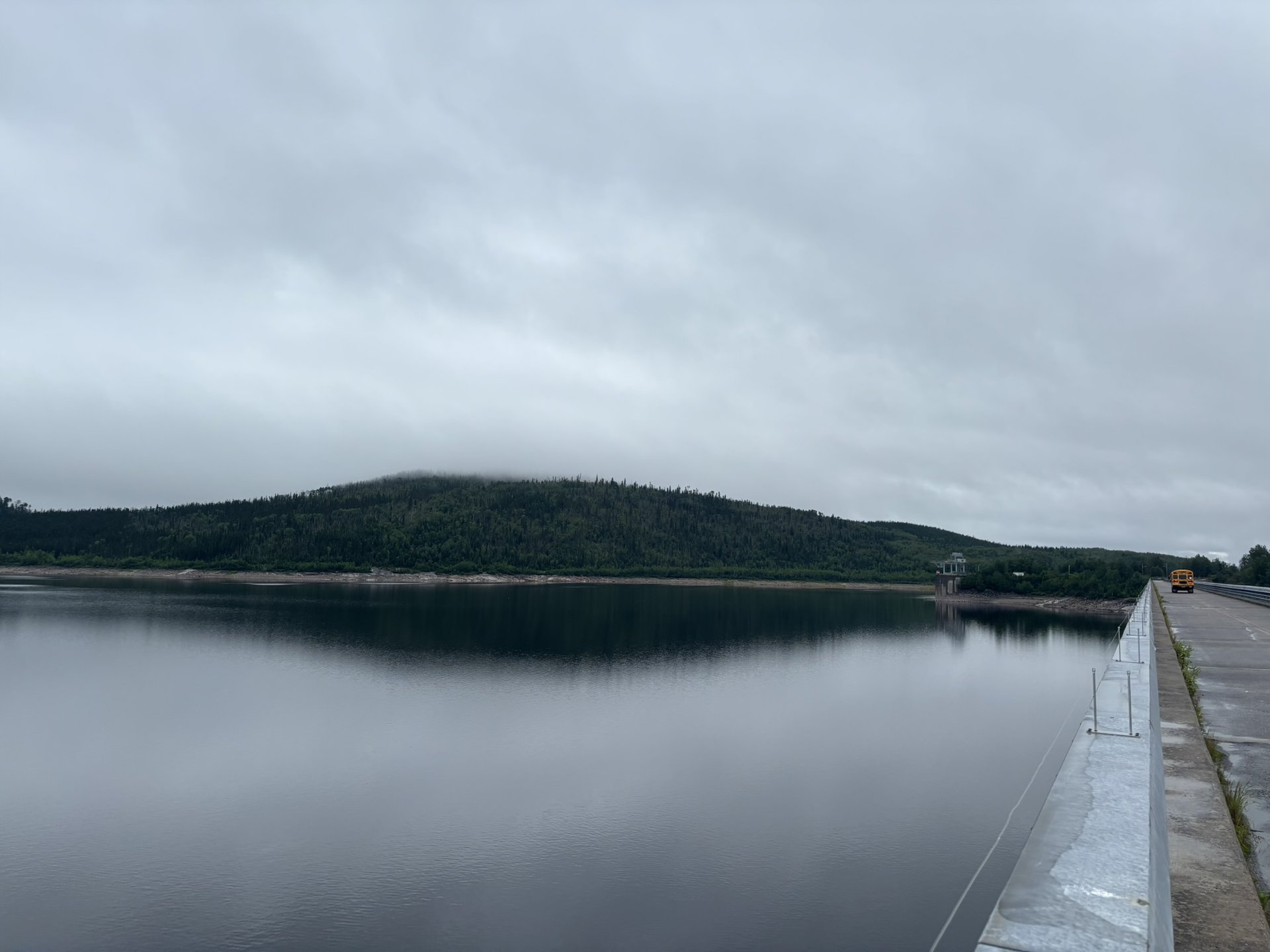
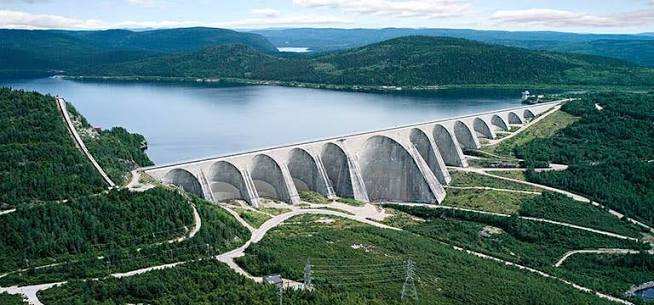
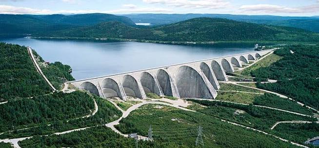
Without question THE highlight of the drive: the free guided tour of the Daniel-Johnson dam (Manic-5). Standing 214 m high, with a crest length of 1,314 m and featuring 13 arches and 14 buttresses, the Daniel-Johnson dam is the largest multiple-arch and buttress dam in the world. A true symbol of Quebec engineering! The guided tour is genuinely interesting and lets us see the dam in several ways: from inside, on top, and from a lookout we are driven to by bus. Throughout the tour the guide also shares relevant information about the history, the construction, the technological developments… Something new to discover: the magnificent Manikuakanishtiku lookout, built to give a voice to the Innu of Pessamit and to acknowledge the harm caused by the dam's construction. A fine cultural addition. Guided tours are offered from mid-June to the end of August, every day, at 9 a.m., 11 a.m., 1:30 p.m. and 3:30 p.m., by reservation only. A word of advice: the number of visitors is limited — book on the Hydro-Québec website BEFORE driving Route 389!
Camping de l'Association Loisir Plein Air de Fermont (ALPAF)
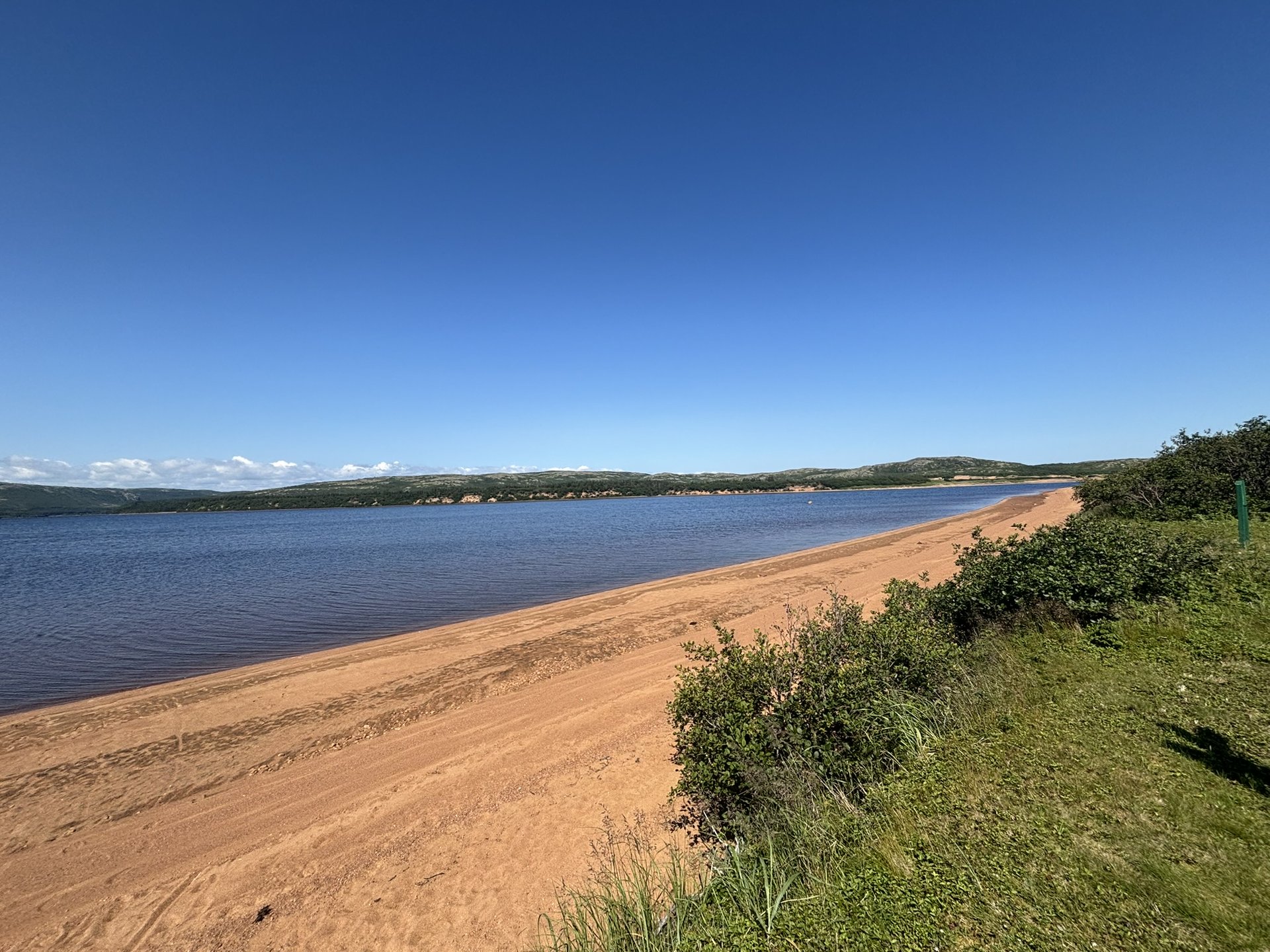
The campground sits on an exceptional site in the heart of the taiga, and has a boat launch ramp for pleasure craft giving access to Lac Daviault. With its 117 sites, most of them with 2 or 3 services, it is the perfect base for exploring Fermont and its surroundings. Less than 1 km from the town of Fermont's amenities, the campground is right near the shores of Lac Daviault. Swimming, kayaking, fishing, hiking, campfires in the evening — everything invites you to unplug completely. Children's playground, basketball and soccer fields, pets welcome — in short, everything is in place for a fine stay, at very affordable rates ($15–30/night). The campground is open from June 15 to September 10.
Le Mur de Fermont — one of the most surprising buildings in Canada
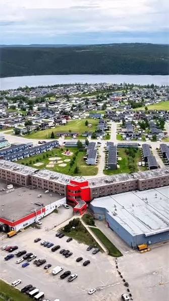
Arriving in Fermont feels like discovering a town from another world. What strikes you immediately is the 1.3 km long windscreen wall, unique in North America, that shields the town from northern winds. This "Mur" — as the people of Fermont affectionately call it — is not just a windbreak: it is a genuine miniature town under a single roof! Inside you find housing, a school, a hotel, a grocery store, a restaurant, an arena, a pool, a movie theatre, a bank, a hardware store, a post office… The visit is fascinating, as much for the ingenuity of the architectural concept as for the remarkable quality of life it offers its residents in one of Quebec's harshest climates. In Fermont you can also tour the open-pit mine of the ArcelorMittal mining complex, one of the largest iron mines in the world — but always by reservation. A must for understanding why this town exists (unfortunately we did not think to book, so we were not able to visit it)!!
Les Monts Severson
A few kilometres from Fermont, Les Monts Severson offer one of the finest hiking experiences in northern Quebec. These mountains create a transition zone between the boreal forest, the taiga and the alpine tundra of the summits, where you find perennial plants and wild berries. An absolutely fascinating and unique environment! The trail network is surprisingly rich: the Piton trail gives access to the Faille trail, which leads to the fault of the Monts Severson, 15 m long and 4 m deep — you can step inside to see a variety of mosses in different shapes and colours. The Cairns trail passes through an alpine setting covered in lichen and offers 360° panoramas over the massif, whose summits reach nearly 900 m in elevation. You reach the network from Fermont or from Route 389 at kilometre 561, 6 km south of Fermont. An adventure to share with family or friends!
Les Monts Groulx (Uapishka)
Considered one of the finest wilderness hiking grounds in Quebec, Les Monts Groulx — called Uapishka by the Innu, meaning "white summits" since they are snow-covered about nine months a year — stretch north of Manic-5. The massif, located north of Manic-5, has an elevation of more than 1,000 m and an area of roughly 5,000 km². At its base you find boreal forest and taiga. At the summit it is tundra and, in the high valleys, alpine forest — a unique ecosystem. The ultimate draw? Crossing this massif, you get a view over one of the largest craters in the world, the Manicouagan astrobleme, visible from space. To discover the region, Station Uapishka at km 336 of Route 389 is the ideal starting point, offering lodging in a campground, cabin or inn, as well as outdoor activity packages. It is a destination for lovers of raw nature and wide open spaces — total immersion in the Quebec tundra!
Labrador
Labrador City
Past Fermont, Route 389 becomes Route 500 and takes us across the border into Newfoundland and Labrador. Labrador City is a town in southwestern Labrador, developed in the 1950s as a planned community to serve the neighbouring mining area (Carol Lake), one of the largest producers of iron ore concentrate and pellets in Canada. With its neighbour Wabush, Labrador City forms what is called "Labrador West" — a lively region where the welcome is warm and the pioneering spirit very much alive. You find the Iron Rock Brewing Company there, Labrador's first microbrewery, and some of the best sport fishing in the world. You can also tour the spectacular open-pit mine — one of the largest in the world — by reservation. What more is there to say? The town is a real crossroads of adventures for anyone who likes getting off the beaten track.
The Tanya Lake Trail
Just outside Labrador City, the Tanya Lake Trail is a must for every visitor. A 3 km trail around picturesque Tanya Lake, very popular with residents and visitors alike. Information panels about the flora and fauna, along with rest areas, are found along the trail. The highlight of the walk? The beautiful wooden boardwalks that loop around the lake — perfect for watching nature in complete peace. An easy stroll, accessible to everyone, that offers a lovely glimpse of the beauty of western Labrador. Ideal in late afternoon or at sunset!
Sleeping at Gateway Labrador — RV Park & Visitor Centre
Gateway Labrador, at 1365 Route 500 in Labrador City, is much more than a simple campground — it is THE welcome point for all of western Labrador! You find a tourist information centre there, an exhibit hall (the Edmund Montague Exhibit Hall) tracing 3,500 years of human activity in western Labrador, a gift shop and an RV park. On the camping side, there are 5 full-service sites, 3 partially serviced sites and 2 tent sites. Rates range from $30 to $68.25 depending on the type of site. Bonus: each site comes with a fire pit and a picnic table, with access to washrooms, Wi-Fi and the visitor centre's amenities. An address as practical as it is friendly, ideally located for exploring the region!
Labrador Military Museum- Goose Bay
Located in Happy Valley-Goose Bay (a few hours' drive east of Labrador City), the Labrador Military Museum is a fascinating visit for military history buffs. The museum traces the rich military past of 5 Wing Goose Bay, a base established in 1941 that played a strategic role during the Second World War (ferrying aircraft to Europe) and during the Cold War (the American Strategic Air Command). You discover artifacts, photos and documents from the Canadian, American, Dutch, German and British air forces — a reflection of the international presence on the base. Military uniforms, aircraft models, radar equipment, period weapons… a real journey back in time! The museum is on the 2nd floor of the CANEX store, building 381 on Banshee Blvd. A small bonus: admission is free!
Birch Island Boardwalk
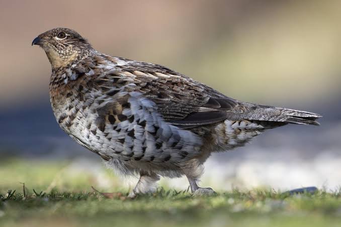
Still in Happy Valley-Goose Bay, the Birch Island Boardwalk is a genuine natural gem. This 800-hectare conservation area takes in marsh, forest, beach and the majestic Churchill River, with 5 km of wooden boardwalks, trails, and observation and rest platforms. This ambitious project, with 5 km of boardwalk, an observation lookout, an outdoor classroom for school programs and a memorial park honouring the families who once lived there, offers an exceptional nature experience. Completed in 2019 after several years of work by the organization Healthy Waters Labrador, the boardwalk is today one of the community's best-loved places. You can watch a fine variety of birds and small mammals — beavers, muskrats, ducks (we came across a whole family of ruffed grouse) — in a peaceful, well-maintained setting. Accessible to everyone (even strollers and people with reduced mobility), it is a must on any stop in Happy Valley-Goose Bay!
Churchill Falls
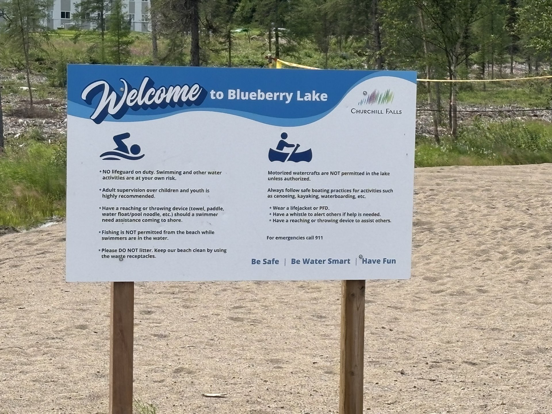
Located in central Labrador on the Trans-Labrador Highway, the small town of Churchill Falls is built around the Churchill Falls Generating Station, one of the largest underground hydroelectric plants in the world, supplying clean, renewable energy to millions of consumers across North America. Eleven turbines harness the power of the massive Churchill River, with a generating capacity of 5,428 megawatts. A genuine engineering feat!
Although public access to the underground facility is currently unavailable, you can take an above-ground tour to learn the history of the operations and of the community. The tour starts at the Visitor Centre. A word of advice: contact the town office ahead of time to book your visit! The town of Churchill Falls, home to 650 people in central Labrador, is one of a kind: almost every resident works for Newfoundland and Labrador Hydro, which owns the school, the grocery store and all the houses.
St. Lewis & Iceberg Alley
After 30 km of gravel road off Route 510, you reach the small fishing village of St. Lewis — one of the northernmost viewing points along the famous Iceberg Alley! As one tourism site puts it nicely: An "Iceberg Alley" sign on the Trans-Labrador Highway draws travellers 18 miles down a gravel road to the small, picturesque fishing village of St. Lewis for their first views of the Atlantic. The easternmost drivable road in North America ends at St. Lewis.
Mary's Harbour — gateway to Battle Harbour
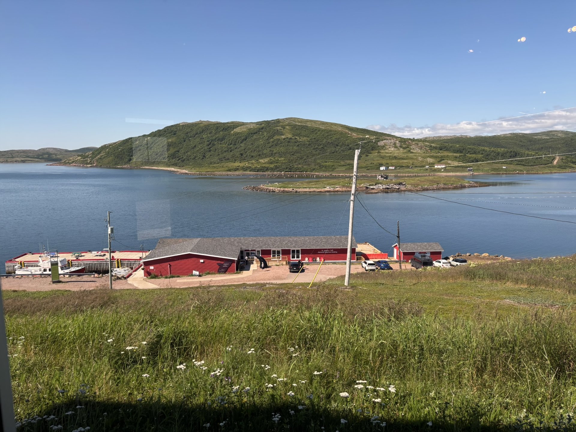
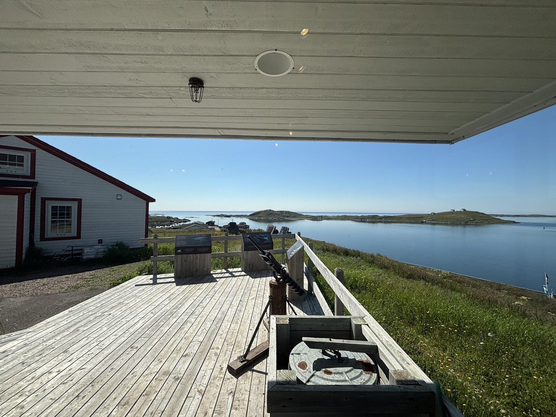
The charming village of Mary's Harbour sits on the southern Labrador coast, at the mouth of St. Lewis Bay. Although the community itself dates only from the 1930s, the St. Mary's River had been a salmon fishing spot since the 1780s. Today the town depends chiefly on the crab fishery and, above all, it serves as the gateway to the Battle Harbour National Historic District. The famous M/V Iceberg Hunter leaves Mary's Harbour every morning at 11 a.m. for a crossing of about 1 hour 15 minutes to Battle Harbour island. This former fishing village, founded in the 18th century by European fishermen, knew a flourishing past thanks to the cod fishery and was nicknamed the "Capital of Labrador." Today it is the only place in the world where the original fishing rooms have remained unchanged since the 1800s — a singular step back in time! An overnight stay on the island, in the restored old houses, comes highly recommended!
Red Bay — Labrador's UNESCO treasure
At Red Bay you set foot on a major historic site: the 16th-century Basque whaling complex at Red Bay, in southeastern Labrador, is a UNESCO World Heritage site. It joins the geological wonders of Gros Morne National Park, the Mistaken Point Ecological Reserve, and the 11th-century Viking village at L'Anse aux Meadows in that prestigious designation. Located in northeastern Canada, in Labrador, on the shores of the Strait of Belle Isle, Red Bay preserves an Arctic maritime settlement of 16th-century Basque mariners. It is the oldest, most complete and best-preserved archaeological testimony of a pre-industrial whaling station. It served to organize the summer coastal hunt for whales, their flensing, then the extraction of the oil and its storage. In 1978, the wreck of a loaded galleon was found there, probably the San Juan, which sank in the 1560s. On neighbouring Saddle Island also lie the remains of dozens of whalers who died far from home between 1550 and 1620. A place steeped in history, visited with Parks Canada — artifact exhibits, walking tours, unique storytelling experiences!
Whaler's Quest — adventure on the waters of the strait
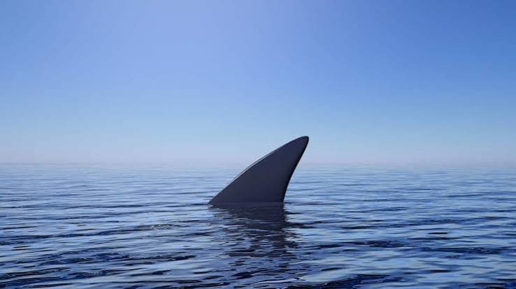
At Red Bay, climb aboard the Perfect Timing I, a Transport Canada-approved fibreglass-hulled vessel with a capacity of 40 passengers, with an open lower deck fitted with seating and a 10-person flybridge offering a 360° panoramic view. Whaler's Quest Ocean Adventures is a family business founded in 2019, run by a lifelong local fisherman with nearly 35 years of experience. Set out on a cruise in the icy waters of the Strait of Belle Isle, where whales breach, epic icebergs drift past and seabirds dot the sky. With live narration, traditional music and a bar on board, the tours offer a full sensory experience, rooted in local knowledge and shaped by Indigenous and European stories. Sunset cruise, whale and iceberg watching, harbour and historic sites tour — a real moment of Labrador authenticity! We were lucky enough to come across sharks the morning of our cruise!!
L'Anse Amour — the oldest burial mound in North America
A few kilometres from Blanc-Sablon, the L'Anse Amour National Historic Site hides a genuine archaeological marvel: the oldest known First Nations funerary monument in North America, dating from the Maritime Archaic period, some 7,700 years ago. A staggering age! The carefully built mound, in the shape of a mound of rocks over a stone burial box, marked the grave of a young child. Buried with reverence, the body was covered in red ochre, and fires were lit on either side. Laid in with it were stone and bone spear points, a walrus tusk, a bone whistle and the oldest known toggling harpoon in the world. A site that testifies to an incredible ritual and symbolic richness for the era. The monument has been officially protected as a national historic site since 1978.
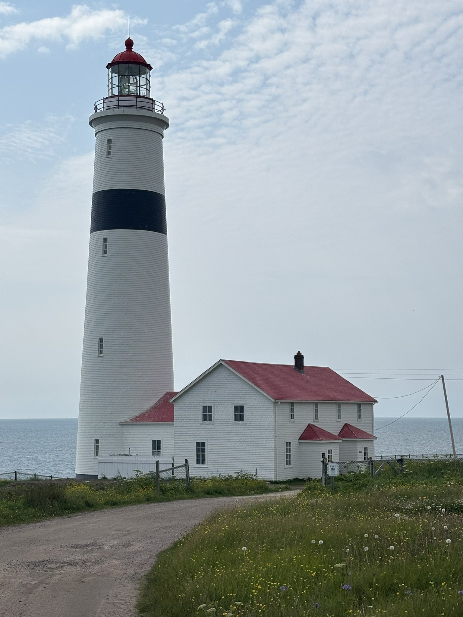
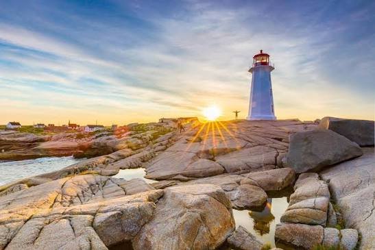
At L'Anse Amour, right beside the famous burial mound, stands another exceptional heritage treasure: the Point Amour Lighthouse — the tallest lighthouse in the Atlantic provinces and the second tallest in all of Canada! Built between 1854 and 1858, this majestic lighthouse, 33.5 metres tall (109 feet), is an impressive monument that stands proudly over the waters of the Strait of Belle Isle. It was built to guide ships through this strategic passage, one of the busiest and most dangerous in the world at the time. Its original Fresnel lens, still visible today, cast its light for kilometres around — a true star lighthouse for every navigator crossing the North Atlantic. Now recognized as a Provincial Historic Site, the lighthouse and its keeper's house have been restored with great care. The guided tour takes you through the site's fascinating history: the daily life of the lighthouse keepers and their isolated families, the tragic shipwrecks that marked the strait (including that of HMS Raleigh in 1922, a Royal Navy vessel), and the life of the communities that have peopled this wild coast for millennia. The high point of the visit? Climbing the 128 steps to the top — a small ascent well worth the effort! From up there, the panoramic view is absolutely spectacular: the Strait of Belle Isle as far as the eye can see, the coasts of Newfoundland visible in clear weather, icebergs drifting past in spring and summer, and sometimes even whales showing themselves in the icy waters. A memorable experience combining history, architecture and the raw beauty of the Far North! The site is also an excellent vantage point for watching the icebergs of the famous Iceberg Alley and migrating whales. Absolutely worth a visit when passing through L'Anse Amour — especially combined with the burial mound right next door!
Sleeping at Pinware River Provincial Park
To end the day beautifully (or to begin the adventure!), there is nothing better than a night at Pinware River Provincial Park. Located on Route 510, about 32 km southwest of historic Red Bay, this small provincial park is ideally situated and absolutely charming. The park offers 22 campsites in a fine wooded area. Each site comes with a picnic table, a fire pit and space for your vehicle. There are also seven sites near the beach that are pull-throughs and can take larger RVs. You find a washroom building with showers and laundry, a dump station, drinking water, a beach, hiking trails and Wi-Fi. The Pinware River, for which the park is named, teems with trout and salmon — it is in fact one of the most renowned salmon rivers in all of Labrador! Dry camping only (no full services at the sites), but the nature there is spectacular, with beaches on the Strait of Belle Isle, wooded trails and abundant wildlife (moose, black bears, seabirds). Open from June 1 to September 17. A perfect stop between Red Bay and Blanc-Sablon!
The Sanctuaire Notre-Dame-de-Lourdes lookout
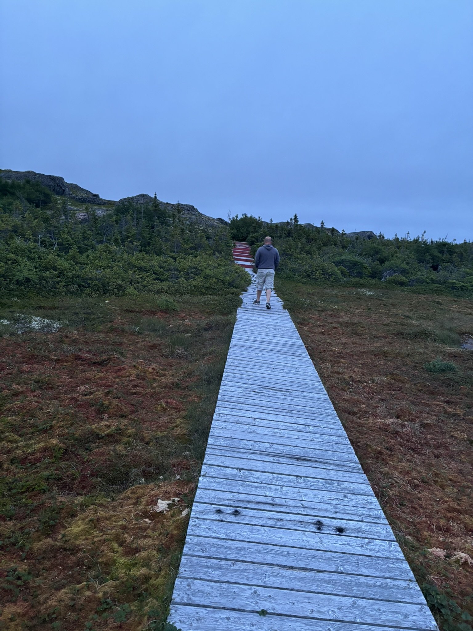
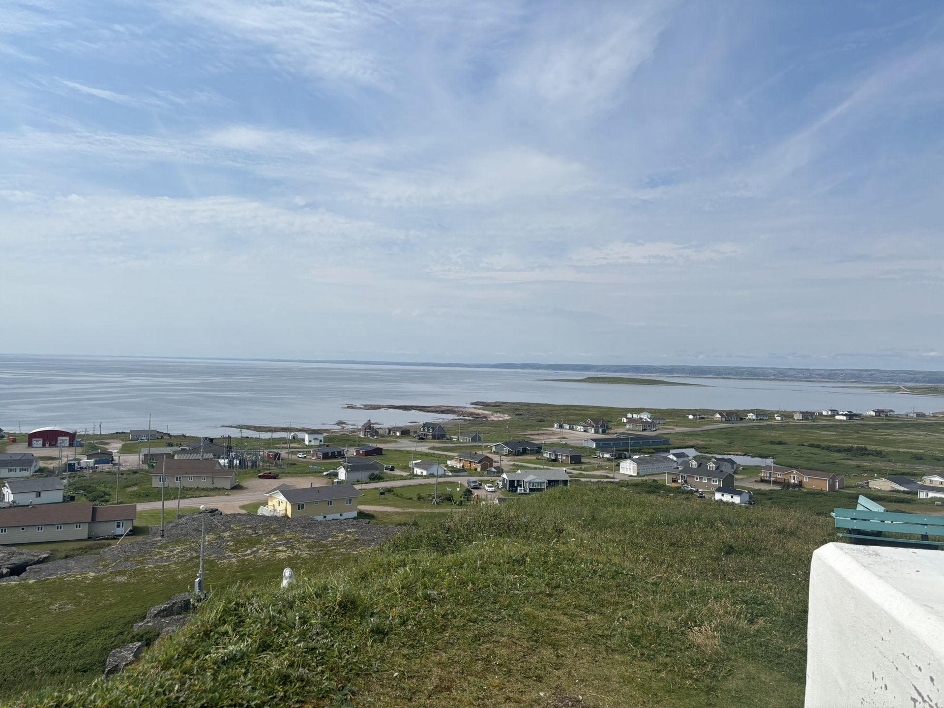
Arriving in Lourdes-de-Blanc-Sablon (on Quebec's Lower North Shore), you cannot miss the famous Sanctuaire Notre-Dame-de-Lourdes. A statue of the Madonna and a shrine dedicated to Notre-Dame-de-Lourdes overlook the village from the top of a hill. You can climb up to the shrine on wooden boardwalks that pass a series of interpretation panels. The wooden statue of the Madonna, carved in France, was raised here in 1916. Once at the top, you are rewarded with a spectacular panoramic view over the community, the bay and even nearby Île aux Perroquets. A place at once spiritual, cultural and grand!
The Île aux Perroquets lookout — kingdom of the puffins
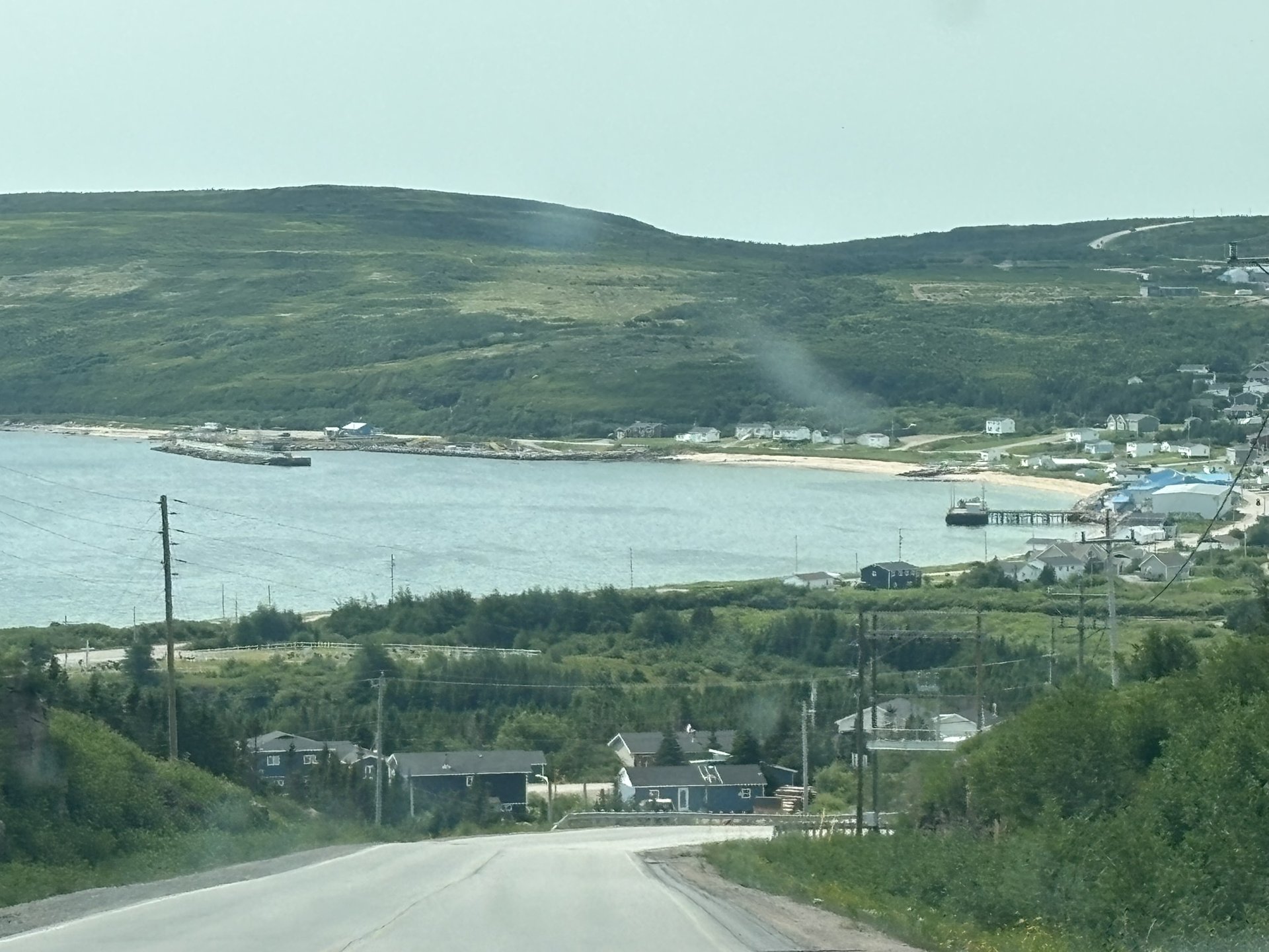
One kilometre east of the village of Brador, on Route 138, hides one of the most impressive birdwatching sites in Quebec. Signposts will show you the way to Pointe à la Barque, which is equipped with interpretation panels. A platform and a telescope let you observe the Atlantic puffin on Île aux Perroquets. The Baie-de-Brador migratory bird sanctuary (made up of Île aux Perroquets and Greenly Island) is home to the largest colony of Atlantic puffins in Quebec — between 15,000 and 20,000 individuals, close to three quarters of Quebec's Atlantic puffin population. It is an exceptional place to rest, punctuated by the sound of waves on the rocks and unforgettable sunsets. Sometimes whales will be there feeding in the bay, and the show of puffins feeding their young on nearby Île aux Perroquets never stops. A magical moment!
Les Chutes de Brador
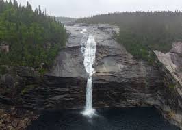
Northwest of the village of Brador, Route 138 reveals another gem: the majestic Chutes de Brador, which reach nearly 70 metres in height! Sensational! As the tourism portal puts it: "Northwest of Brador, on Route 138, a small wooden staircase leads to a lookout overlooking the Brador falls. Intrepid travellers can push their way through the bushes and reach even more impressive falls located upstream." A prime spot for photographers — indeed, many wedding and graduation photos have been taken here over past decades, near Brador Bay. The round-trip trail is about 2.4 km and takes roughly 40 minutes.